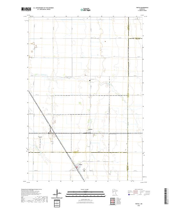
2022 Map of Tintah
USGS Topo · Published 2022About this map
Nashua and Tintah anchor this agricultural landscape in the Red River Valley, where the borders of Wilkin, Traverse, Otter Tail, and Grant counties converge. The terrain is defined by the meandering courses of the Rabbit River and the S Fork Rabbit River, which cut through a strictly gridded system of township roads and section lines. This network includes local routes such as Twp Rd 155 and Co Hwy 19, facilitating movement between the scattered farmsteads and regional hubs. Local history is preserved at Saint Galls Cem near the southern boundary and Riverside Cem further north along the riverbanks. The presence of Wetenkamp Airport northwest of Nashua highlights the importance of aerial connectivity in this expansive prairie region, while the various county line designations mark the complex political geography of this multi-county junction.
Find a feature on this map
53 named features on this map. Tap any name to fly to it.
Don’t see what you’re looking for? This feature index may not catch every label — zoom into the map to look around manually.
Map Details
Editions of this 2022 Tintah Map
This is the sole edition of this map. No revisions or reprints were ever made.
Other maps of this area

1910 · Wendell
USGS Topo · 1:62,500

1911 · Herman
USGS Topo · 1:62,500

1913 · Wendell
USGS Topo · 1:62,500

1951 · Wheaton
USGS Topo · 1:62,500

1951 · Campbell
USGS Topo · 1:62,500

1953 · Milbank
USGS Topo · 1:250,000

1953 · Fargo
USGS Topo · 1:250,000

1956 · Fargo
USGS Topo · 1:250,000

1958 · Milbank
USGS Topo · 1:250,000

1973 · Herman NW
USGS Topo · 1:24,000