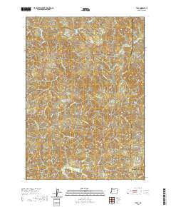
2020 Map of Tioga
USGS Topo · Published 2020About this map
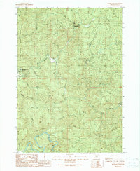
The South Fork Coos River and Williams River dictate the drainage patterns of this timber-dense region along the border of Coos and Douglas Counties. In this 2020 survey, the landscape is defined by the sharp verticality of Coos Mtn and High Ridge, where a network of modern logging and access roads, such as Burnt Ridge Rd and Hatcher Rd, traverse the steep terrain. The map captures a critical watershed where the N Fork Coquille River headwaters emerge, alongside numerous creeks like Tioga Cr and Hatcher Cr. This modern topographic study reveals how industrial forestry roads have permeated deep into the Coast Range, tracing the same ridges and valleys that once separated the drainage basins of the Coos and Coquille rivers.
Find a feature on this map
38 named features on this map. Tap any name to fly to it.
Don’t see what you’re looking for? This feature index may not catch every label — zoom into the map to look around manually.
Map Details
Editions of this 2020 Tioga Map
This is the sole edition of this map. No revisions or reprints were ever made.
Other maps of this area
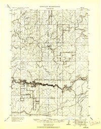
1928 · Sitkum
USGS Topo · 1:125,000
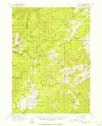
1955 · Camas Valley
USGS Topo · 1:62,500
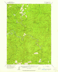
1955 · Ivers Peak
USGS Topo · 1:62,500
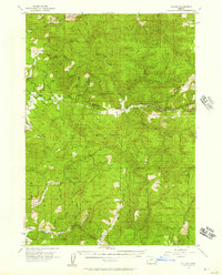
1955 · Sitkum
USGS Topo · 1:62,500
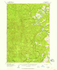
1955 · Tyee
USGS Topo · 1:62,500

1958 · Roseburg
USGS Topo · 1:250,000

1959 · Roseburg
USGS Topo · 1:250,000
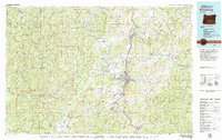
1979 · Roseburg
USGS Topo · 1:100,000
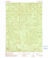
1990 · Cedar Creek
USGS Topo · 1:24,000
1990 · Golden Falls
USGS Topo · 1:24,000