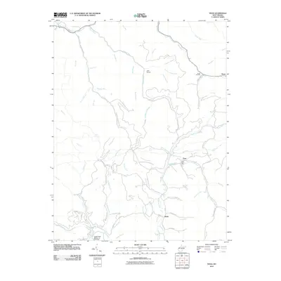
2010 Map of Tioga
USGS Topo · Published 2010About this map
Tioga and its surroundings in Nicholas County appear here at the start of the 2010s, showing a landscape defined by its intricate drainage systems and industrial presence. The settlement at Tioga is centered near the Tioga Post Office, where Strouds Creek and Walnut Fork meet. Further north, the Birch River carves through the terrain, joined by numerous tributaries like Poplar Creek and Skyles Creek. For local historians and genealogists, the map identifies the Boggs Cemetery near the settlement of Boggs, and the small community of Delphi to the south. The presence of the Gauley Eagle Slurry Pond Dam in the southwest corner reflects the region's long-standing connection to the mining industry, while the naming of places like Josh Hollow and Hog Rock Branch preserves the colloquial geography of this part of West Virginia.
Find a feature on this map
70 named features on this map. Tap any name to fly to it.
Don’t see what you’re looking for? This feature index may not catch every label — zoom into the map to look around manually.
Map Details
Editions of this 2010 Tioga Map
This is the sole edition of this map. No revisions or reprints were ever made.
Other maps of this area

1889 · Nicholas
USGS Topo · 1:125,000

1891 · Nicholas
USGS Topo · 1:125,000

1893 · Sutton
USGS Topo · 1:125,000

1901 · Nicholas
USGS Topo · 1:125,000

1908 · Gassaway
USGS Topo · 1:48,000

1908 · Sutton
USGS Topo · 1:48,000

1910 · Sutton Special
USGS Topo · 1:62,500

1910 · Gassaway
USGS Topo · 1:62,500

1913 · Summersville
USGS Topo · 1:48,000

1915 · Cowen
USGS Topo · 1:48,000