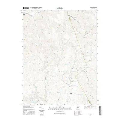
2016 Map of Tioga
USGS Topo · Published 2016About this map
Tioga and the surrounding timber and coal lands of Nicholas County are defined by a complex drainage network feeding the Birch River. The settlement of Delphi sits further south, connected to the larger region by Strouds Creek Rd and a series of secondary routes like Rockhouse Rd and Hall Holler Rd. This 2016 survey illustrates the persistent rural character of the area, where topography dictates the location of homes and roads along narrow valleys such as Josh Hollow and Eller Hollow. Family history is deeply rooted in the landscape, evidenced by the distribution of local burial grounds including Barnett Family Cem, Amos Cem, and Armstrong Cem. The map provides a contemporary view of these remote Appalachian communities and their relationship to the steep ridges and numerous streams like Skyles Cr and Panther Lick Br.
Find a feature on this map
79 named features on this map. Tap any name to fly to it.
Don’t see what you’re looking for? This feature index may not catch every label — zoom into the map to look around manually.
Map Details
Editions of this 2016 Tioga Map
This is the sole edition of this map. No revisions or reprints were ever made.
Other maps of this area

1889 · Nicholas
USGS Topo · 1:125,000

1891 · Nicholas
USGS Topo · 1:125,000

1893 · Sutton
USGS Topo · 1:125,000

1901 · Nicholas
USGS Topo · 1:125,000

1908 · Gassaway
USGS Topo · 1:48,000

1908 · Sutton
USGS Topo · 1:48,000

1910 · Sutton Special
USGS Topo · 1:62,500

1910 · Gassaway
USGS Topo · 1:62,500

1913 · Summersville
USGS Topo · 1:48,000

1915 · Cowen
USGS Topo · 1:48,000