2019 Map of Tioga
USGS Topo · Published 2019About this map
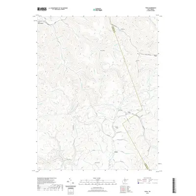
Tioga and Delphi serve as central points in this portion of the West Virginia highlands, where the Birch River cuts through the northern reaches of the quadrangle. The settlement patterns follow the winding paths of numerous runs and forks, including Rockhouse Run and Clear Fork, highlighting a landscape shaped by narrow valleys and steep ridges. This 2019 survey documents the enduring presence of small communities and family landmarks such as the Barnett Family Cem and Armstrong Cem, which remain vital for genealogical research in Nicholas and Webster counties.
Find a feature on this map
90 named features on this map. Tap any name to fly to it.
Don’t see what you’re looking for? This feature index may not catch every label — zoom into the map to look around manually.
Map Details
Editions of this 2019 Tioga Map
This is the sole edition of this map. No revisions or reprints were ever made.
Other maps of this area

1889 · Nicholas
USGS Topo · 1:125,000

1891 · Nicholas
USGS Topo · 1:125,000

1893 · Sutton
USGS Topo · 1:125,000

1901 · Nicholas
USGS Topo · 1:125,000

1908 · Gassaway
USGS Topo · 1:48,000

1908 · Sutton
USGS Topo · 1:48,000

1910 · Sutton Special
USGS Topo · 1:62,500

1910 · Gassaway
USGS Topo · 1:62,500

1913 · Summersville
USGS Topo · 1:48,000

1915 · Cowen
USGS Topo · 1:48,000