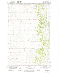
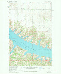
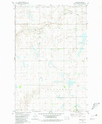
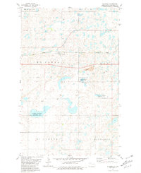
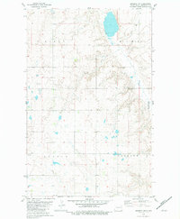
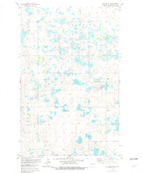
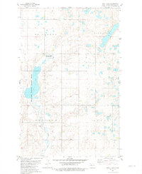
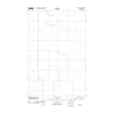
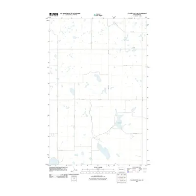
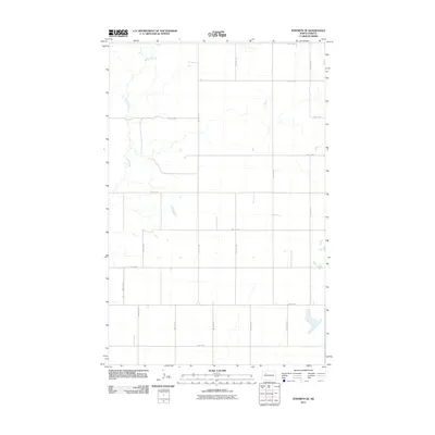
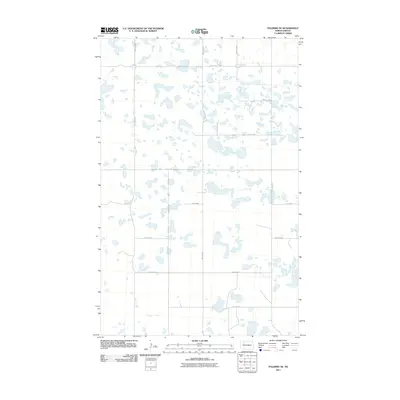
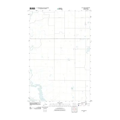
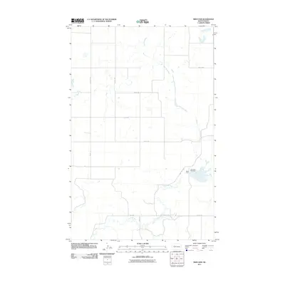
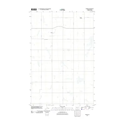
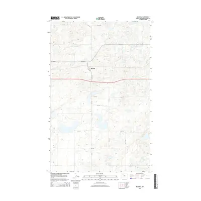
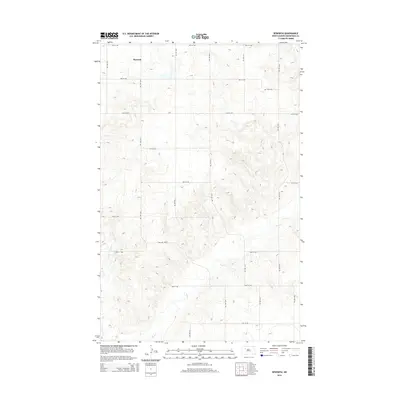
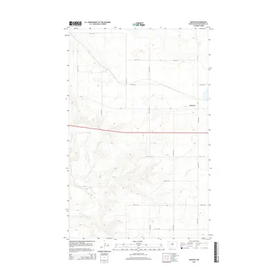
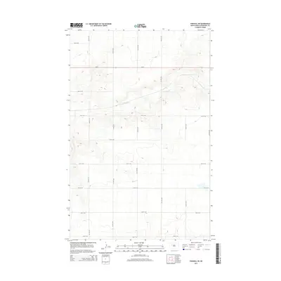
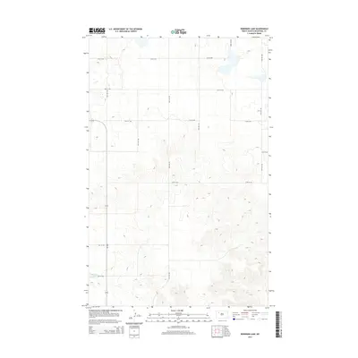
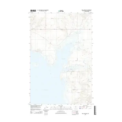
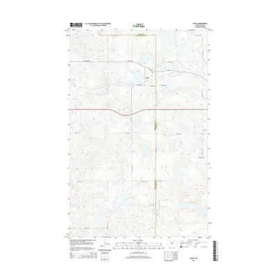
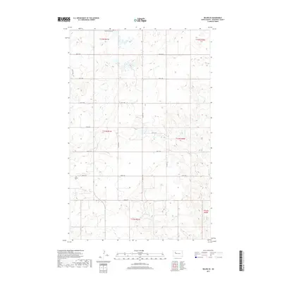
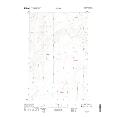
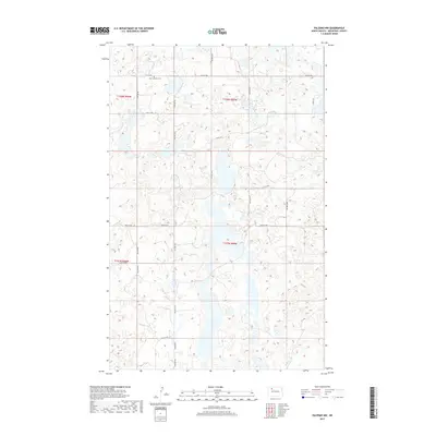
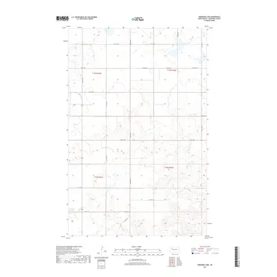
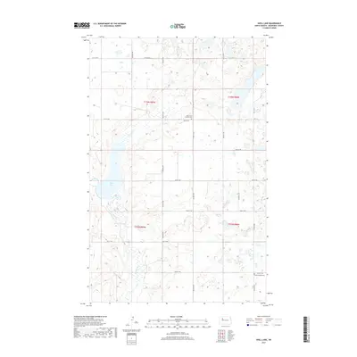
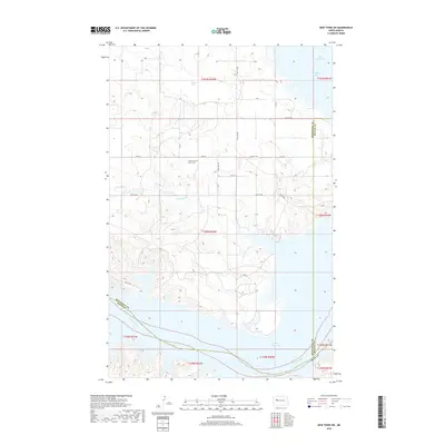
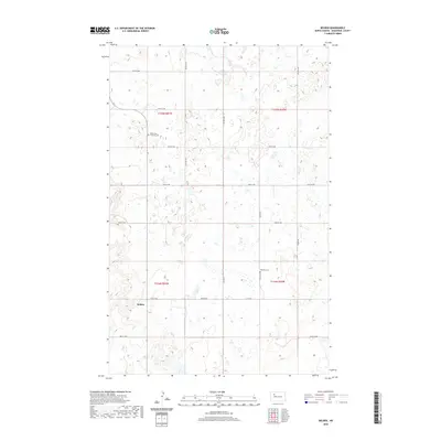
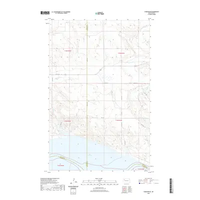
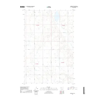
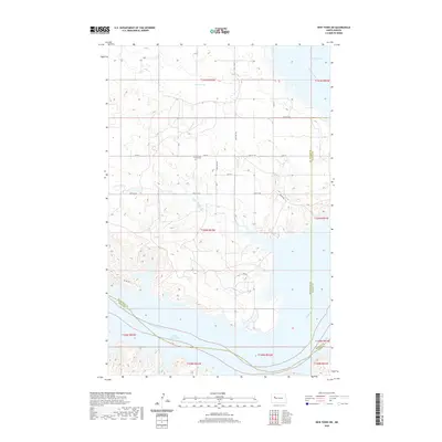
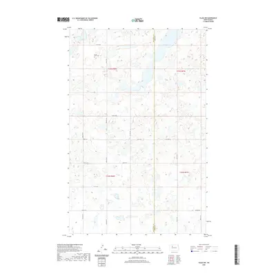
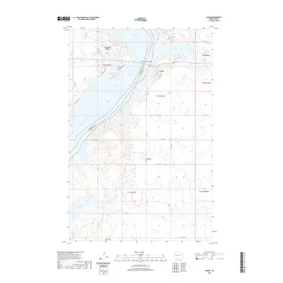
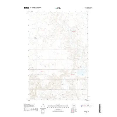
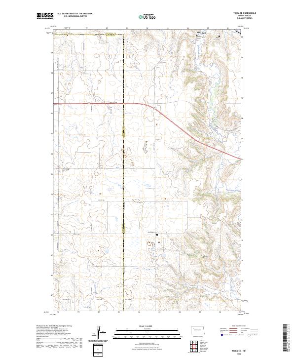
1979 Map of Tioga SE
USGS Topo · Published 1979About this map
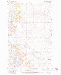
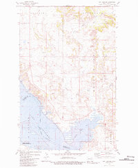
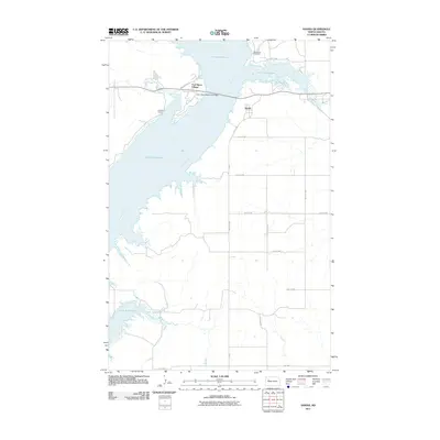
The White Earth River carves a deep valley through the high plains of the Mountrail and Williams County border in this 1970s survey. The landscape is defined by the contrast between the flat upland agricultural sections and the broken terrain of Myrtle Valley. Cultural landmarks of the early homesteading era remain visible through sites like the Houstveit Sch and the Kristiansand Cem in the southern portion of the map.
Find a feature on this map
16 named features on this map. Tap any name to fly to it.
Don’t see what you’re looking for? This feature index may not catch every label — zoom into the map to look around manually.
Map Details
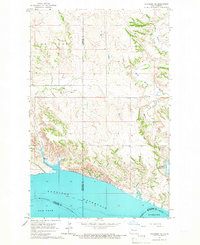
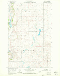
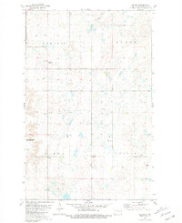
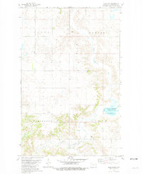
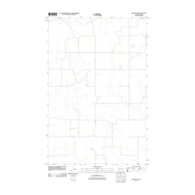
Editions of this 1979 Tioga SE Map
This is the sole edition of this map. No revisions or reprints were ever made.
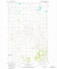
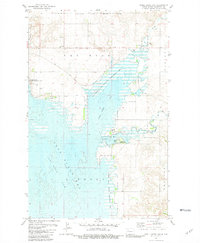
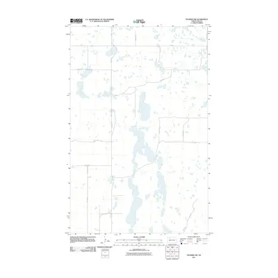
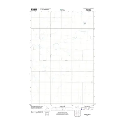
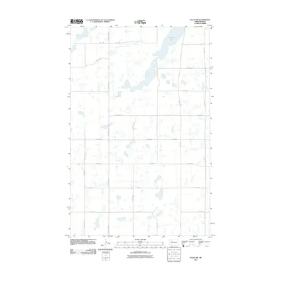
Historical Maps of White Earth Through Time
181 maps found
1965 Charlson NE
Mountrail County, ND
1967 New Town SW
Mountrail County, ND
1967 Sanish
Mountrail County, ND
1967 Sanish SE
Mountrail County, ND
1969 Ross NW
Mountrail County, ND
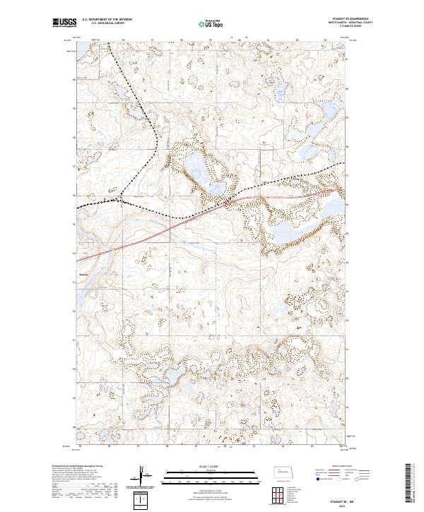
1969 Stanley SE
Mountrail County, ND
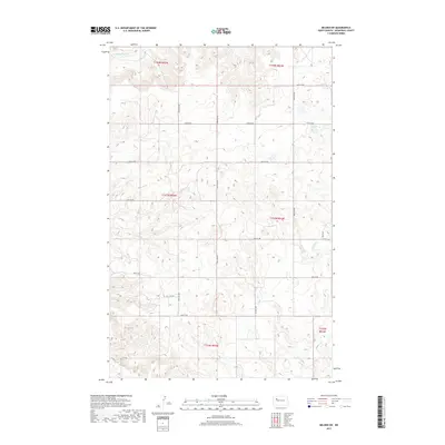
1979 Tioga SE
Mountrail County, ND
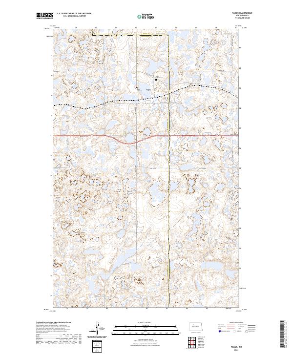
1980 Tagus
Mountrail County, ND
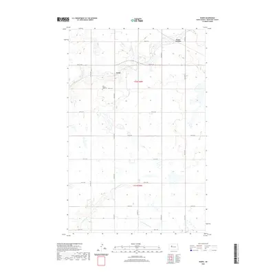
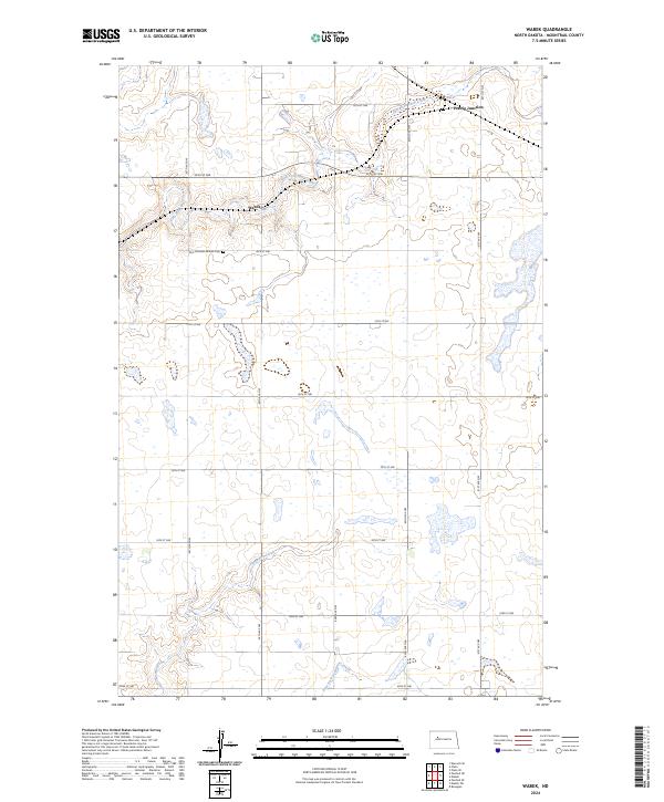
1980 Wabek
Mountrail County, ND
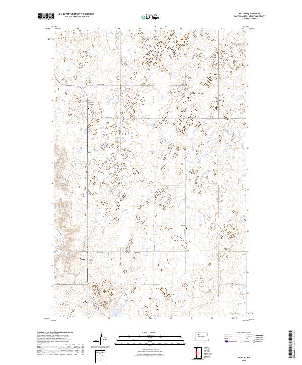
1981 Belden
Mountrail County, ND
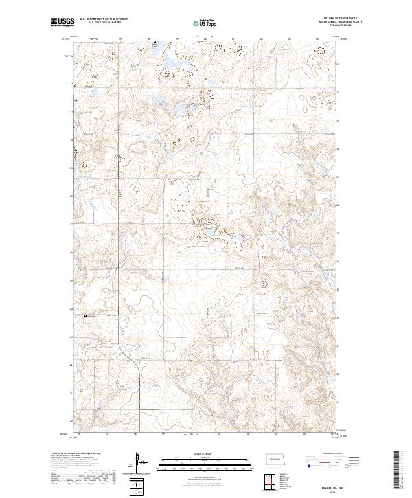
1981 Belden SE
Mountrail County, ND
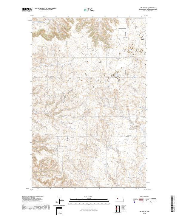
1981 Belden SW
Mountrail County, ND
1981 Blaisdell
Mountrail County, ND
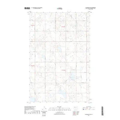
1981 Clearwater Lake
Mountrail County, ND
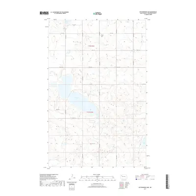
1981 Cottonwood Lake
Mountrail County, ND
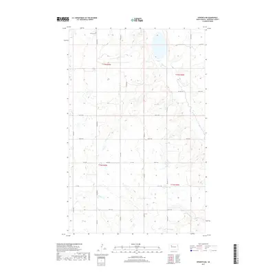
1981 Epworth
Mountrail County, ND
1981 Epworth NW
Mountrail County, ND
1981 Epworth SE
Mountrail County, ND
1981 Lostwood
Mountrail County, ND
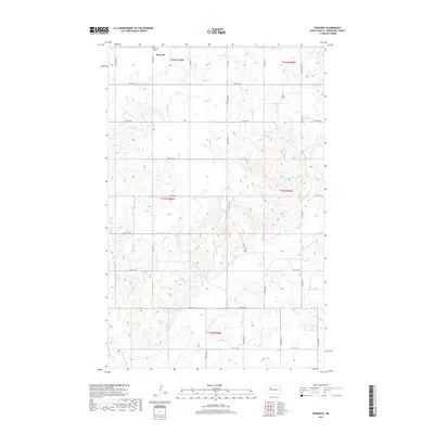
1981 Manitou
Mountrail County, ND
1981 Palermo NE
Mountrail County, ND
1981 Palermo NW
Mountrail County, ND
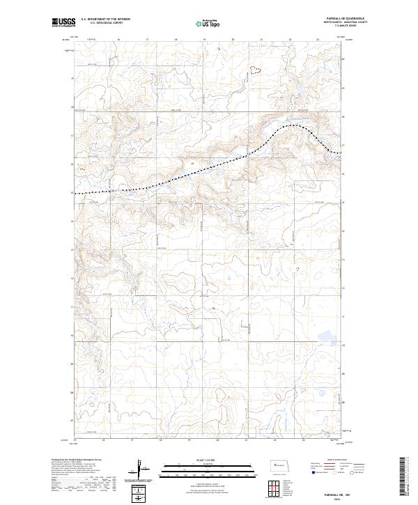
1981 Parshall NE
Mountrail County, ND
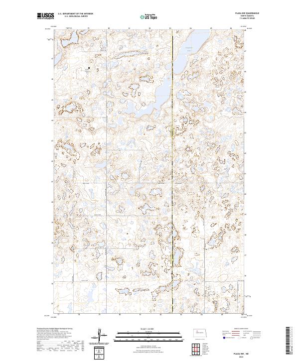
1981 Plaza NW
Mountrail County, ND
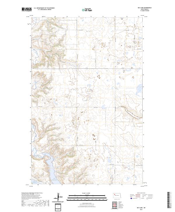
1981 Rat Lake
Mountrail County, ND
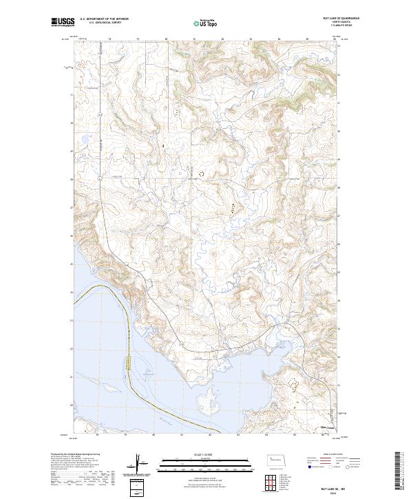
1981 Rat Lake SE
Mountrail County, ND
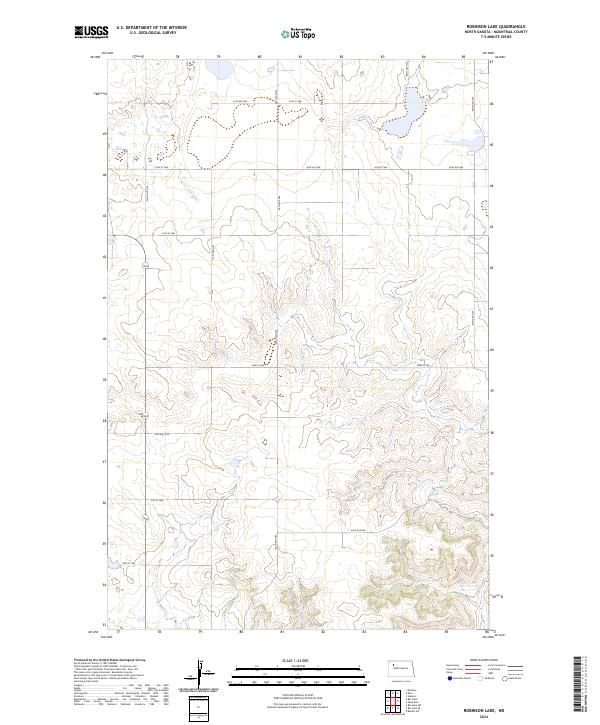
1981 Robinson Lake
Mountrail County, ND
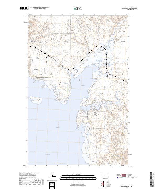
1981 Shell Creek Bay
Mountrail County, ND
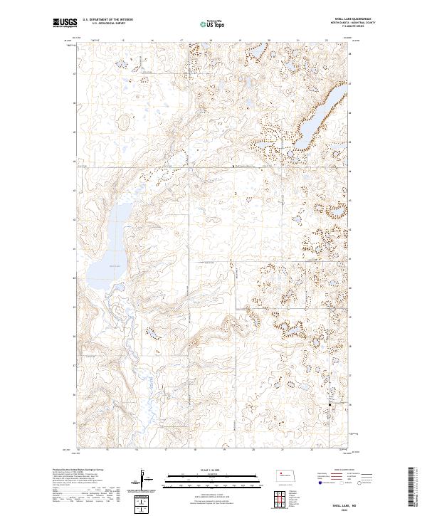
1981 Shell Lake
Mountrail County, ND
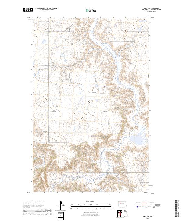
1981 Sikes Dam
Mountrail County, ND
1981 Stanley SE
Mountrail County, ND
2011 Belden
Mountrail County, ND
2011 Belden SE
Mountrail County, ND
2011 Belden SW
Mountrail County, ND
2011 Blaisdell
Mountrail County, ND
2011 Charlson NE
Mountrail County, ND
2011 Clearwater Lake
Mountrail County, ND
2011 Cottonwood Lake
Mountrail County, ND
2011 Epworth
Mountrail County, ND
2011 Epworth NW
Mountrail County, ND
2011 Epworth SE
Mountrail County, ND
2011 Lostwood
Mountrail County, ND
2011 Manitou
Mountrail County, ND
2011 New Town SW
Mountrail County, ND
2011 Palermo NE
Mountrail County, ND
2011 Palermo NW
Mountrail County, ND
2011 Parshall NE
Mountrail County, ND
2011 Plaza NW
Mountrail County, ND
2011 Rat Lake
Mountrail County, ND
2011 Rat Lake SE
Mountrail County, ND
2011 Robinson Lake
Mountrail County, ND
2011 Ross NW
Mountrail County, ND
2011 Sanish
Mountrail County, ND
2011 Sanish SE
Mountrail County, ND
2011 Shell Creek Bay
Mountrail County, ND
2011 Shell Lake
Mountrail County, ND
2011 Sikes Dam
Mountrail County, ND
2011 Stanley SE
Mountrail County, ND
2011 Tagus
Mountrail County, ND
2011 Tioga SE
Mountrail County, ND
2011 Wabek
Mountrail County, ND
2014 Belden
Mountrail County, ND
2014 Belden SE
Mountrail County, ND
2014 Belden SW
Mountrail County, ND
2014 Blaisdell
Mountrail County, ND
2014 Charlson NE
Mountrail County, ND
2014 Clearwater Lake
Mountrail County, ND
2014 Cottonwood Lake
Mountrail County, ND
2014 Epworth
Mountrail County, ND
2014 Epworth NW
Mountrail County, ND
2014 Epworth SE
Mountrail County, ND
2014 Lostwood
Mountrail County, ND
2014 Manitou
Mountrail County, ND
2014 New Town SW
Mountrail County, ND
2014 Palermo NE
Mountrail County, ND
2014 Palermo NW
Mountrail County, ND
2014 Parshall NE
Mountrail County, ND
2014 Plaza NW
Mountrail County, ND
2014 Rat Lake
Mountrail County, ND
2014 Rat Lake SE
Mountrail County, ND
2014 Robinson Lake
Mountrail County, ND
2014 Ross NW
Mountrail County, ND
2014 Sanish
Mountrail County, ND
2014 Sanish SE
Mountrail County, ND
2014 Shell Creek Bay
Mountrail County, ND
2014 Shell Lake
Mountrail County, ND
2014 Sikes Dam
Mountrail County, ND
2014 Stanley SE
Mountrail County, ND
2014 Tagus
Mountrail County, ND
2014 Tioga SE
Mountrail County, ND
2014 Wabek
Mountrail County, ND
2017 Belden
Mountrail County, ND
2017 Belden SE
Mountrail County, ND
2017 Belden SW
Mountrail County, ND
2017 Blaisdell
Mountrail County, ND
2017 Charlson NE
Mountrail County, ND
2017 Clearwater Lake
Mountrail County, ND
2017 Cottonwood Lake
Mountrail County, ND
2017 Epworth
Mountrail County, ND
2017 Epworth NW
Mountrail County, ND
2017 Epworth SE
Mountrail County, ND
2017 Lostwood
Mountrail County, ND
2017 Manitou
Mountrail County, ND
2017 Palermo NE
Mountrail County, ND
2017 Palermo NW
Mountrail County, ND
2017 Plaza NW
Mountrail County, ND
2017 Rat Lake
Mountrail County, ND
2017 Rat Lake SE
Mountrail County, ND
2017 Robinson Lake
Mountrail County, ND
2017 Ross NW
Mountrail County, ND
2017 Sanish
Mountrail County, ND
2017 Shell Creek Bay
Mountrail County, ND
2017 Shell Lake
Mountrail County, ND

2017 Sikes Dam
Mountrail County, ND
2017 Stanley SE
Mountrail County, ND
2017 Tagus
Mountrail County, ND
2017 Tioga SE
Mountrail County, ND
2018 New Town SW
Mountrail County, ND
2018 Parshall NE
Mountrail County, ND
2018 Sanish SE
Mountrail County, ND
2018 Wabek
Mountrail County, ND
2020 Belden
Mountrail County, ND
2020 Belden SE
Mountrail County, ND
2020 Belden SW
Mountrail County, ND
2020 Blaisdell
Mountrail County, ND
2020 Charlson NE
Mountrail County, ND
2020 Clearwater Lake
Mountrail County, ND
2020 Cottonwood Lake
Mountrail County, ND
2020 Epworth
Mountrail County, ND
2020 Epworth NW
Mountrail County, ND
2020 Epworth SE
Mountrail County, ND
2020 Lostwood
Mountrail County, ND
2020 Manitou
Mountrail County, ND
2020 New Town SW
Mountrail County, ND
2020 Palermo NE
Mountrail County, ND
2020 Palermo NW
Mountrail County, ND
2020 Parshall NE
Mountrail County, ND
2020 Plaza NW
Mountrail County, ND

2020 Rat Lake
Mountrail County, ND
2020 Rat Lake SE
Mountrail County, ND
2020 Robinson Lake
Mountrail County, ND
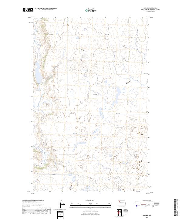
2020 Ross NW
Mountrail County, ND
2020 Sanish
Mountrail County, ND
2020 Sanish SE
Mountrail County, ND
2020 Shell Creek Bay
Mountrail County, ND
2020 Shell Lake
Mountrail County, ND
2020 Sikes Dam
Mountrail County, ND
2020 Stanley SE
Mountrail County, ND
2020 Tagus
Mountrail County, ND
2020 Tioga SE
Mountrail County, ND
2020 Wabek
Mountrail County, ND
2024 Belden
Mountrail County, ND
2024 Belden SE
Mountrail County, ND
2024 Belden SW
Mountrail County, ND
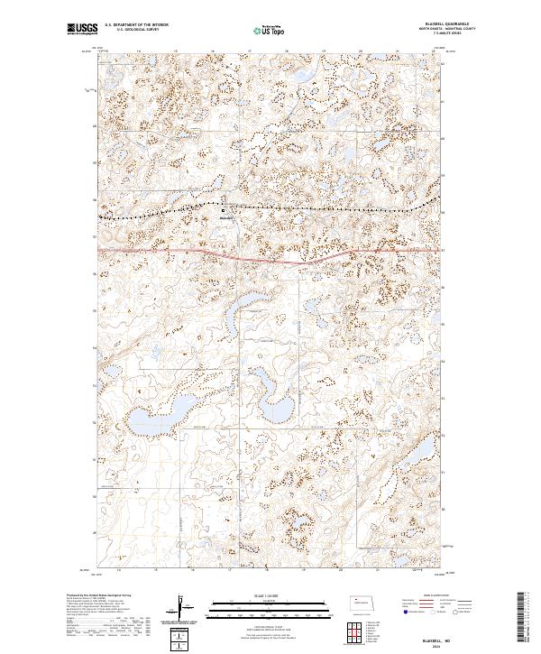
2024 Blaisdell
Mountrail County, ND
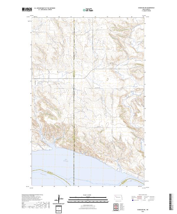
2024 Charlson NE
Mountrail County, ND
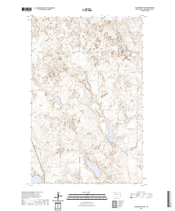
2024 Clearwater Lake
Mountrail County, ND
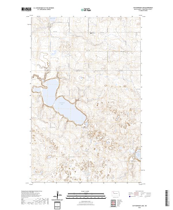
2024 Cottonwood Lake
Mountrail County, ND
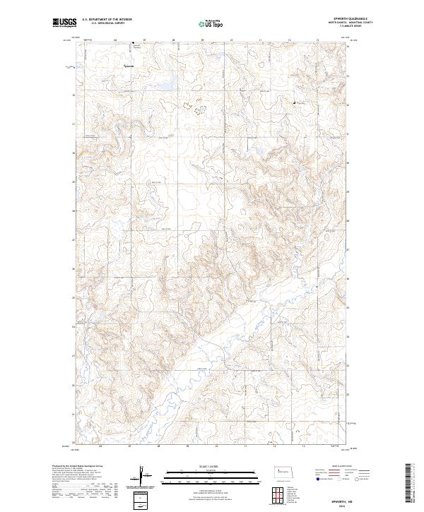
2024 Epworth
Mountrail County, ND
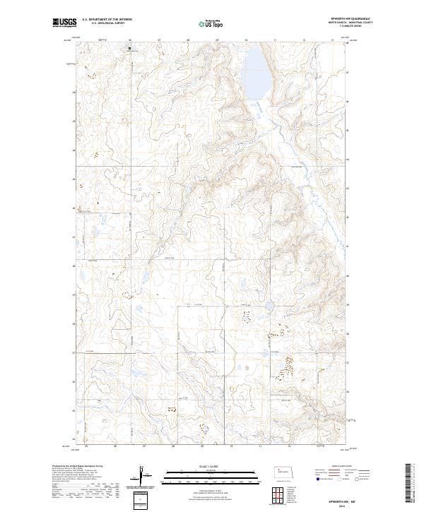
2024 Epworth NW
Mountrail County, ND
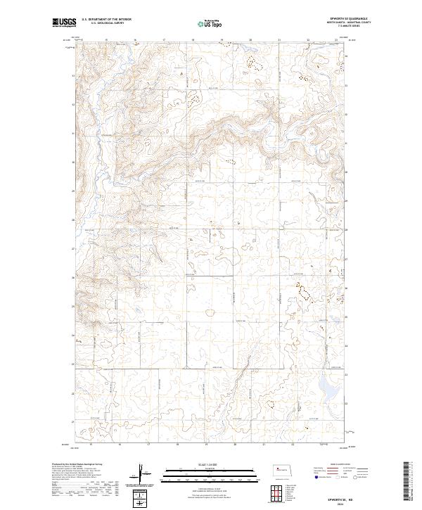
2024 Epworth SE
Mountrail County, ND
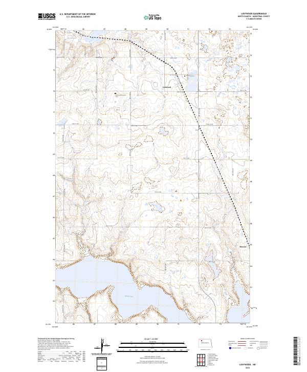
2024 Lostwood
Mountrail County, ND
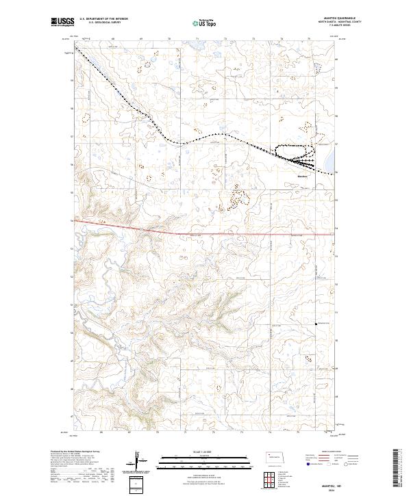
2024 Manitou
Mountrail County, ND
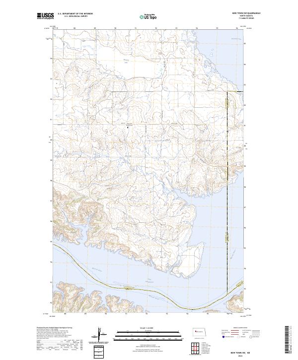
2024 New Town SW
Mountrail County, ND
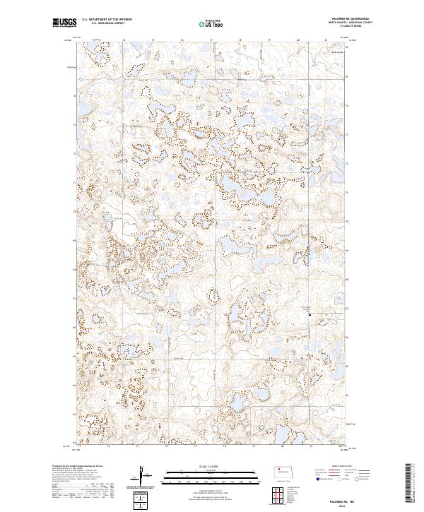
2024 Palermo NE
Mountrail County, ND
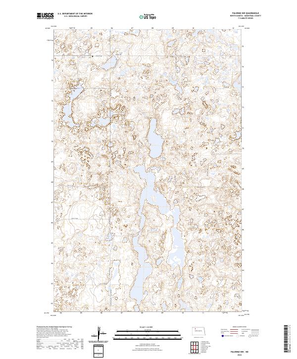
2024 Palermo NW
Mountrail County, ND
2024 Parshall NE
Mountrail County, ND
2024 Plaza NW
Mountrail County, ND
2024 Rat Lake
Mountrail County, ND
2024 Rat Lake SE
Mountrail County, ND
2024 Robinson Lake
Mountrail County, ND
2024 Ross NW
Mountrail County, ND
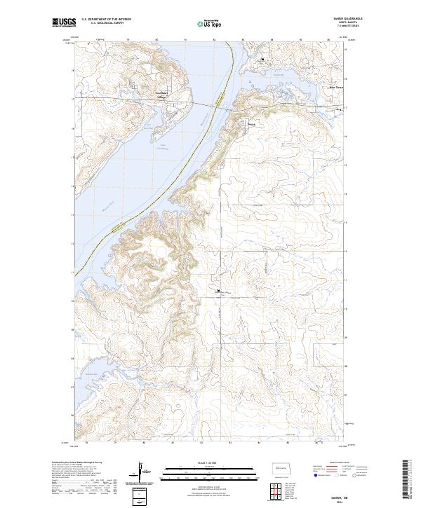
2024 Sanish
Mountrail County, ND
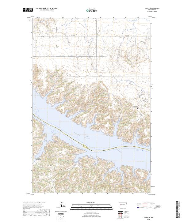
2024 Sanish SE
Mountrail County, ND
2024 Shell Creek Bay
Mountrail County, ND
2024 Shell Lake
Mountrail County, ND
2024 Sikes Dam
Mountrail County, ND
2024 Stanley SE
Mountrail County, ND
2024 Tagus
Mountrail County, ND
2024 Tioga SE
Mountrail County, ND
2024 Wabek
Mountrail County, ND