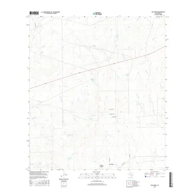
2016 Map of Tios Creek
USGS Topo · Published 2016About this map
Pueblo Nuevo and the neighboring settlement of La Coma define the southern edge of this Webb County landscape, where the semi-arid terrain is heavily managed for water through a network of earthen tanks and reservoirs. The area's hydrology is dominated by seasonal drainages such as Tios Creek, San Juanito Cr, and Dolores Cr, which feed numerous named water features like Highline Tank and Mil Ojos Camp Lake.
Find a feature on this map
27 named features on this map. Tap any name to fly to it.
Don’t see what you’re looking for? This feature index may not catch every label — zoom into the map to look around manually.
Map Details
Editions of this 2016 Tios Creek Map
This is the sole edition of this map. No revisions or reprints were ever made.
Other maps of this area
1933 · Becerra Creek
USGS Topo · 1:62,500
1937 · Aguilete Creek
USGS Topo · 1:62,500
1940 · Aguilares
USGS Topo · 1:62,500
1956 · Laredo East
USGS Topo · 1:62,500
1956 · Laredo
USGS Topo · 1:250,000
1965 · Orvil
USGS Topo · 1:24,000
1965 · Cibolo Ranch
USGS Topo · 1:24,000
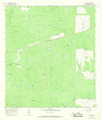
1965 · Tios Creek
USGS Topo · 1:24,000
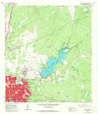
1965 · Laredo East
USGS Topo · 1:24,000
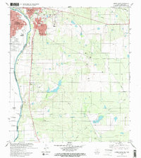
1979 · Laredo South
USGS Topo · 1:24,000