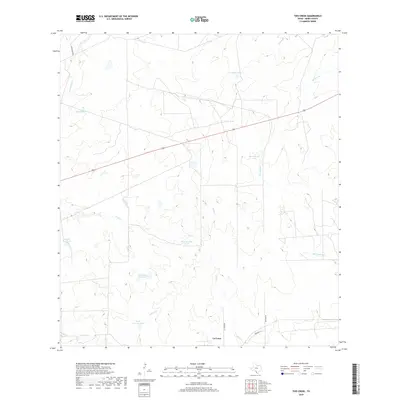
2019 Map of Tios Creek
USGS Topo · Published 2019About this map
La Coma stands as the primary settlement in this ranching landscape of Webb County, situated near the intersection of La Comma Rd and Railroad St. The area is defined by an intricate network of intermittent drainages and ranch tanks, which are vital for water management in this arid South Texas environment. Significant water features include the eponymous Tios Creek, Lobo Creek, and San Ignacio Creek, which weave through the terrain. Numerous named stock ponds, such as Colorado Flat Tank, South Colorado Tank, and West Novillos Tank, suggest a landscape shaped by active cattle ranching operations. The local infrastructure is further detailed by roads such as Milagro Rd and San Ignacio Rd, providing a clear view of the rural transport patterns that connect isolated ranching outposts.
Find a feature on this map
21 named features on this map. Tap any name to fly to it.
Don’t see what you’re looking for? This feature index may not catch every label — zoom into the map to look around manually.
Map Details
Editions of this 2019 Tios Creek Map
This is the sole edition of this map. No revisions or reprints were ever made.
Other maps of this area
1933 · Becerra Creek
USGS Topo · 1:62,500
1937 · Aguilete Creek
USGS Topo · 1:62,500
1940 · Aguilares
USGS Topo · 1:62,500
1956 · Laredo East
USGS Topo · 1:62,500
1956 · Laredo
USGS Topo · 1:250,000
1965 · Orvil
USGS Topo · 1:24,000
1965 · Cibolo Ranch
USGS Topo · 1:24,000
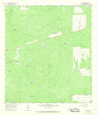
1965 · Tios Creek
USGS Topo · 1:24,000
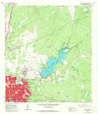
1965 · Laredo East
USGS Topo · 1:24,000
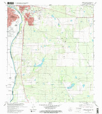
1979 · Laredo South
USGS Topo · 1:24,000