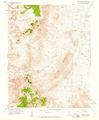
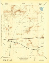
1960 Map of Tippipah Spring
USGS Topo · Published 1961About this map
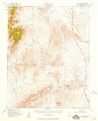
The Atomic Energy Commission collaborated on this specialized survey of the high desert terrain within the Nevada Test Site at the dawn of the 1960s. This landscape is defined by the massive uplift of the Eleana Range and Shoshone Mountain, separated by the deep cleft of Redrock Valley. Military and scientific operations are evident through a network of jeep trails and an underground telephone cable that lead toward an Observation Station and several designated zones including Area 1, Area 2, and Area 4. Water security in this arid environment is highlighted by the development of Tippipah Spring, a Water Tunnel, and a nearby Reservoir. Beyond the tectonic features like Syncline Ridge, the map documents man-made disturbances such as Trenches and Prospects, providing a rare look at the infrastructure of the nuclear proving grounds.
Find a feature on this map
29 named features on this map. Tap any name to fly to it.
Don’t see what you’re looking for? This feature index may not catch every label — zoom into the map to look around manually.
Map Details
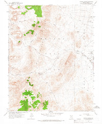
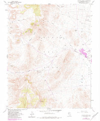
Editions of this 1960 Tippipah Spring Map
3 editions found
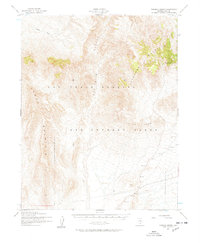
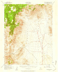
Other maps of this area

1908 · Kawich
USGS Topo · 1:250,000

1908 · Furnace Creek
USGS Topo · 1:250,000

1910 · Furnace Creek
USGS Topo · 1:250,000
1942 · Wheelbarrow Peak
USGS Topo · 1:125,000
1942 · Skull Mountain
USGS Topo · 1:125,000

1948 · Death Valley
USGS Topo · 1:250,000
1952 · Topopah Spring
USGS Topo · 1:62,500
1952 · Tippipah Spring
USGS Topo · 1:62,500
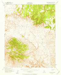
1952 · Timber Mountain
USGS Topo · 1:62,500
1952 · Cane Spring
USGS Topo · 1:62,500