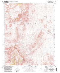
1986 Map of Tippipah Spring
USGS Topo · Published 1987About this map
The Eleana Range and Shoshone Mountain dominate this landscape within the Nevada Test Site, revealing a complex of canyons and volcanic terrain. In the mid-1980s, this area served as a focal point for government operations, evidenced by industrial infrastructure like the Area 1 Shaker Plant and a network of specialized routes including the Tippipah Highway and Pahute Mesa Road. Historically significant water sources like Tippipah Spring are noted amidst the dry washes and ridges, providing a stark contrast to the surrounding military and scientific development. The presence of Sugar Loaves, Big Butte, and Tippipah Point offer specific landmarks for navigating this high-desert environment, while multiple prospects and gravel pits underscore the geological activity and logistical requirements of the Test Site during this era.
Find a feature on this map
24 named features on this map. Tap any name to fly to it.
Don’t see what you’re looking for? This feature index may not catch every label — zoom into the map to look around manually.
Map Details
Editions of this 1986 Tippipah Spring Map
2 editions found
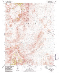
Other maps of this area

1908 · Kawich
USGS Topo · 1:250,000

1908 · Furnace Creek
USGS Topo · 1:250,000

1910 · Furnace Creek
USGS Topo · 1:250,000

1942 · Wheelbarrow Peak
USGS Topo · 1:125,000

1942 · Skull Mountain
USGS Topo · 1:125,000

1948 · Death Valley
USGS Topo · 1:250,000

1952 · Topopah Spring
USGS Topo · 1:62,500

1952 · Tippipah Spring
USGS Topo · 1:62,500

1952 · Timber Mountain
USGS Topo · 1:62,500
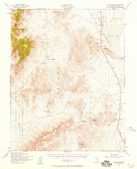
1952 · Cane Spring
USGS Topo · 1:62,500