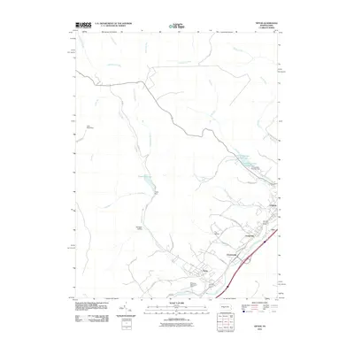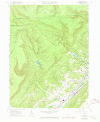
1963 Map of Tipton
USGS Topo · Published 1973About this map
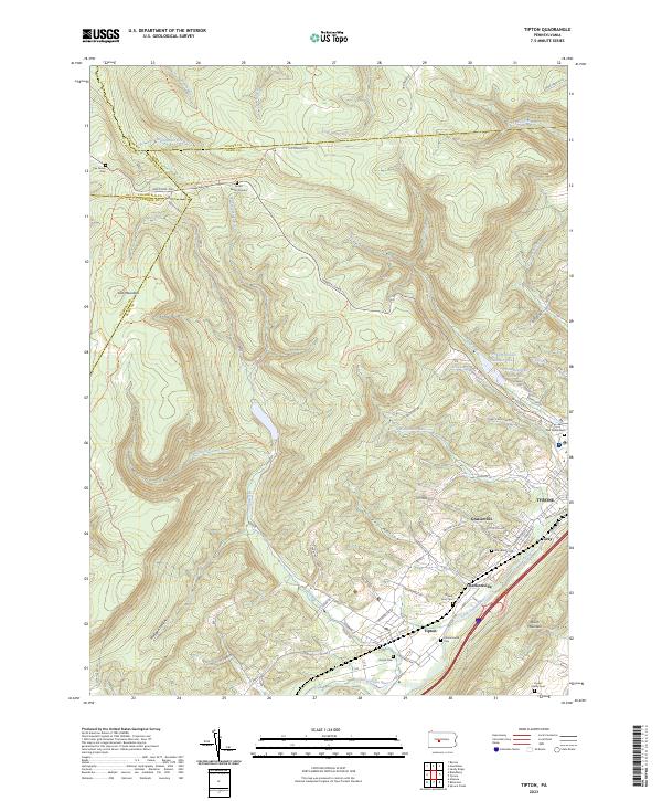
Tipton and the neighboring settlements of Grazierville and Charlottsville sit along the southeastern corridor of this map, following the path of the Little Juniata River. This river valley serves as a critical transportation and industrial artery, dominated by the tracks of the Penn Central railroad and punctuated by landmarks like the Peterson Memorial Airfield. The landscape shifts abruptly to the northwest, transitioning from the valley floor into the high elevations of State Game Lands No 158 and State Game Lands No 60. Water management is central to the area's development, evidenced by the large Tipton Reservoir and the multiple Tyrone Reservoirs tucked into the mountain gaps. From the Lookout Tower on Lost Mtn to the Radio Station (WTRN) near Tyrone, the map illustrates a mid-20th-century balance between industrial infrastructure and preserved Pennsylvania wilderness.
Find a feature on this map
51 named features on this map. Tap any name to fly to it.
Don’t see what you’re looking for? This feature index may not catch every label — zoom into the map to look around manually.
Map Details
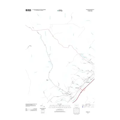
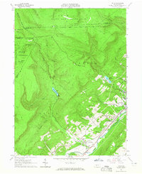
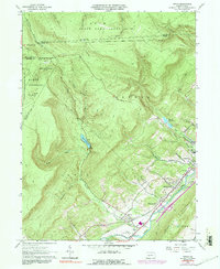
Editions of this 1963 Tipton Map
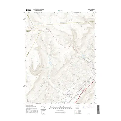
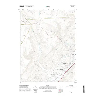
Historical Maps of Tyrone Through Time
6 maps found