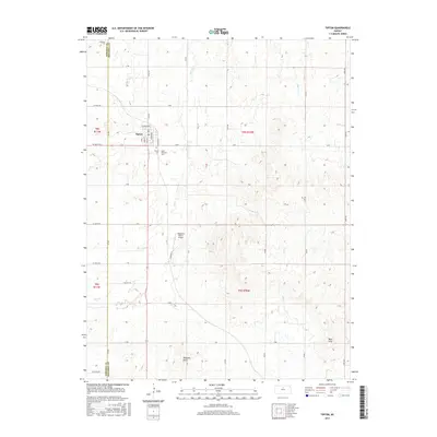
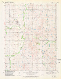
2015 Map of Tipton
USGS Topo · Published 2015About this map
Tipton serves as the central hub of this North Central Kansas landscape, situated on the border of Osborne and Mitchell Counties. The town's grid is clearly defined by local streets such as Main St, Gambrinus, and Arnoldy, representing a compact agricultural community. To the south of the settlement, Saint Boniface Cem and the Ringneck Ranch Airport provide specific points of interest for local history and aviation researchers.
Find a feature on this map
48 named features on this map. Tap any name to fly to it.
Don’t see what you’re looking for? This feature index may not catch every label — zoom into the map to look around manually.
Map Details
Editions of this 2015 Tipton Map
This is the sole edition of this map. No revisions or reprints were ever made.
Other maps of this area
1894 · Beloit
USGS Topo · 1:125,000
1896 · Osborne
USGS Topo · 1:125,000
1953 · Downs South
USGS Topo · 1:24,000
1953 · Waconda Springs
USGS Topo · 1:24,000
1953 · Glen Elder South
USGS Topo · 1:24,000

1955 · Beloit
USGS Topo · 1:250,000

1959 · Beloit
USGS Topo · 1:250,000
1967 · Hunter
USGS Topo · 1:24,000
1968 · Ash Grove
USGS Topo · 1:24,000
1978 · Tipton
USGS Topo · 1:24,000