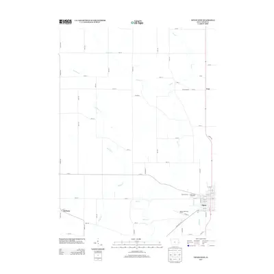
2013 Map of Tipton West
USGS Topo · Published 2013About this map
Tipton serves as the focal point of this Eastern Iowa landscape, where the rectilinear grid of Cedar County roads meets the sinuous paths of Rock Cr and Rock Run Cr. This survey details the western outskirts of the county seat during the early 21st century, highlighting local community hubs like the Cedar County Fairgrounds and the adjacent Tipton Speedway. The map illustrates a predominantly agricultural region interspersed with smaller named locales such as Buchanan in the southwest and the areas of Shiloh and Wald to the northeast.
Find a feature on this map
57 named features on this map. Tap any name to fly to it.
Don’t see what you’re looking for? This feature index may not catch every label — zoom into the map to look around manually.
Map Details
Editions of this 2013 Tipton West Map
This is the sole edition of this map. No revisions or reprints were ever made.
Other maps of this area
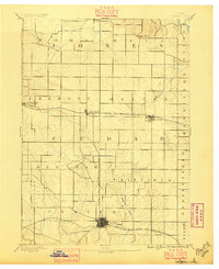
1889 · Tipton
USGS Topo · 1:62,500
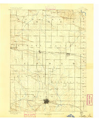
1890 · Tipton
USGS Topo · 1:62,500
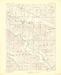
1891 · Mechanicsville
USGS Topo · 1:62,500
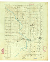
1891 · Wilton Junction
USGS Topo · 1:62,500
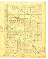
1894 · Mechanicsville
USGS Topo · 1:62,500
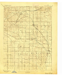
1894 · West Liberty
USGS Topo · 1:62,500
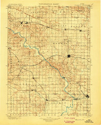
1901 · Stanwood
USGS Topo · 1:125,000
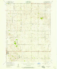
1953 · Tipton East
USGS Topo · 1:24,000
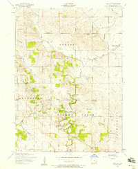
1953 · Lime City
USGS Topo · 1:24,000
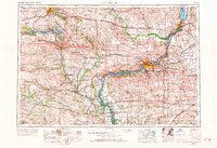
1958 · Davenport
USGS Topo · 1:250,000