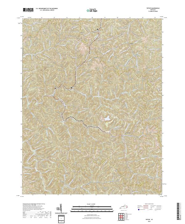
2022 Map of Tiptop
USGS Topo · Published 2022About this map
Evanston and Tiptop sit amidst the deeply dissected plateaus of the eastern Kentucky coalfields, where the borders of Breathitt, Magoffin, and Knott counties converge. This 2022 survey illustrates a landscape defined by sharp ridges and winding hollows, where narrow roads follow the serpentine paths of water bodies like Hard Fork and Wireman Fork. Family history is anchored to the hillsides at the Benton Mann Cem, Bettis Mann Cem, and John Bailey Cem, which overlook the complex drainage patterns of the region. A notable transformation of the local infrastructure is visible in the Dawkins Line Rail-Trl, which follows the old rail corridor through the mountains, passing near peaks such as Hogtown Knob and Big Lovely Mtn. The map captures the enduring settlement patterns of the Cumberland Plateau, where small communities and homesteads remain concentrated along the creek bottoms and gaps like Mullins Gap.
Find a feature on this map
114 named features on this map. Tap any name to fly to it.
Don’t see what you’re looking for? This feature index may not catch every label — zoom into the map to look around manually.
Map Details
Editions of this 2022 Tiptop Map
This is the sole edition of this map. No revisions or reprints were ever made.
Other maps of this area

1886 · Prestonsburg
USGS Topo · 1:125,000

1889 · Salyersville
USGS Topo · 1:125,000

1890 · Whitesburg
USGS Topo · 1:125,000

1891 · Hazard
USGS Topo · 1:125,000

1891 · Salyersville
USGS Topo · 1:125,000

1892 · Whitesburg
USGS Topo · 1:125,000

1892 · Prestonsburg
USGS Topo · 1:125,000

1899 · Salyersville
USGS Topo · 1:125,000

1912 · Hindman
USGS Topo · 1:48,000

1914 · Troublesome
USGS Topo · 1:62,500