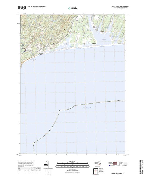
2024 Map of Tisbury Great Pond
USGS Topo · Published 2024About this map
The coastal village of Chilmark and its surrounding hills anchor this 2024 survey of Martha's Vineyard. The landscape is defined by its dramatic southern coastline, where Wequobsque Cliffs rise above Lucy Vincent Beach and the vast Atlantic Ocean. Inland, the terrain is shaped by a network of ridges and terminal moraine features, including Peaked Hill, Abel Hill, and Prospect Hill, which offer views over the complex system of coastal ponds.
Find a feature on this map
90 named features on this map. Tap any name to fly to it.
Don’t see what you’re looking for? This feature index may not catch every label — zoom into the map to look around manually.
Map Details
Editions of this 2024 Tisbury Great Pond Map
This is the sole edition of this map. No revisions or reprints were ever made.
Other maps of this area
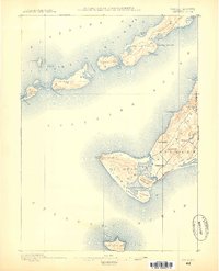
1887 · Gay Head
USGS Topo · 1:62,500
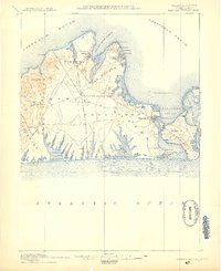
1887 · Marthas Vineyard
USGS Topo · 1:62,500
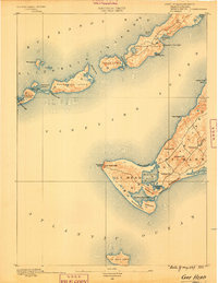
1889 · Gay Head
USGS Topo · 1:62,500
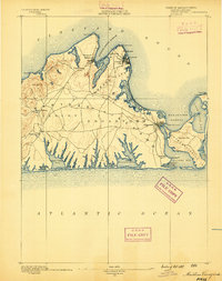
1889 · Marthas Vineyard
USGS Topo · 1:62,500
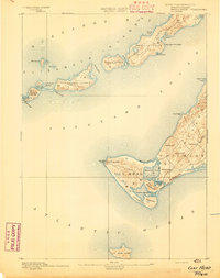
1893 · Gay Head
USGS Topo · 1:62,500
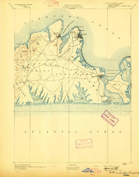
1894 · Marthas Vineyard
USGS Topo · 1:62,500
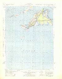
1942 · Marthas Vineyard
USGS Topo · 1:125,000
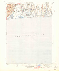
1944 · Tisbury Great Pond
USGS Topo · 1:31,680
1944 · Vineyard Haven
USGS Topo · 1:31,680
1944 · Naushon Island
USGS Topo · 1:31,680