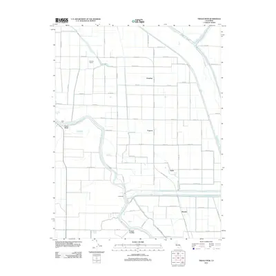
2012 Map of Tisdale Weir
USGS Topo · Published 2012About this map
The Sacramento River carves a winding path through this corner of the California Central Valley, defining a landscape engineered for flood control and irrigation. The massive Tisdale Weir and associated Tisdale By-Pass dominate the central terrain, funneling river overflow toward the broad Sutter By-Pass to the east. This network of canals, including the Wadsworth Canal and West Side Canal, supports the intensive agricultural grid that characterizes the region.
Find a feature on this map
61 named features on this map. Tap any name to fly to it.
Don’t see what you’re looking for? This feature index may not catch every label — zoom into the map to look around manually.
Map Details
Editions of this 2012 Tisdale Weir Map
This is the sole edition of this map. No revisions or reprints were ever made.
Other maps of this area

1888 · Marysville
USGS Topo · 1:125,000

1891 · Marysville
USGS Topo · 1:125,000

1894 · Marysville
USGS Topo · 1:125,000

1895 · Marysville
USGS Topo · 1:125,000

1907 · Dunnigan
USGS Topo · 1:62,500

1910 · Marcuse
USGS Topo · 1:31,680

1911 · Sutter
USGS Topo · 1:31,680

1911 · Grimes
USGS Topo · 1:31,680

1911 · Gilsizer Slough
USGS Topo · 1:31,680

1912 · Marysville Buttes
USGS Topo · 1:31,680