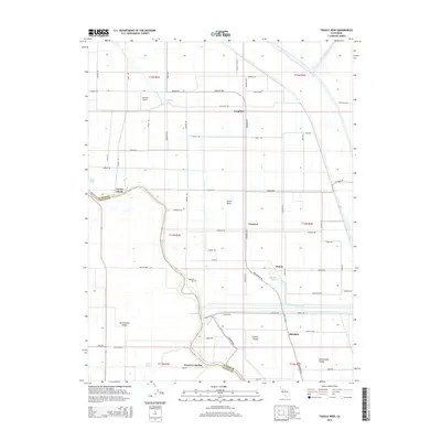
2015 Map of Tisdale Weir
USGS Topo · Published 2015About this map
Sacramento River hydrology defines this portion of the Sacramento Valley, where the critical infrastructure of the Tisdale Weir and the Tisdale By-Pass manage seasonal floodwaters. The landscape is a patchwork of reclaimed agricultural land within the Sutter Basin, historically protected by an extensive system of levees like the Franklin Levee Rd. Small rural clusters and landings, including Tisdale, Hinsdale, and Fraziers Landing, are scattered along the river's winding path and the straight-line irrigation and drainage canals that segment the valley floor.
Find a feature on this map
104 named features on this map. Tap any name to fly to it.
Don’t see what you’re looking for? This feature index may not catch every label — zoom into the map to look around manually.
Map Details
Editions of this 2015 Tisdale Weir Map
This is the sole edition of this map. No revisions or reprints were ever made.
Other maps of this area

1888 · Marysville
USGS Topo · 1:125,000

1891 · Marysville
USGS Topo · 1:125,000

1894 · Marysville
USGS Topo · 1:125,000

1895 · Marysville
USGS Topo · 1:125,000

1907 · Dunnigan
USGS Topo · 1:62,500

1910 · Marcuse
USGS Topo · 1:31,680

1911 · Sutter
USGS Topo · 1:31,680

1911 · Grimes
USGS Topo · 1:31,680

1911 · Gilsizer Slough
USGS Topo · 1:31,680

1912 · Marysville Buttes
USGS Topo · 1:31,680