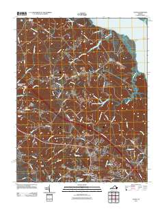
2011 Map of Toano
USGS Topo · Published 2011About this map
Barhamsville and the surrounding James City County and New Kent County borderlands appear here in the early 21st century, defined by a complex network of wetlands and tidal inlets. The landscape is dominated by expansive tracts like Wahrani Swamp and France Swamp, which feed into Ware Creek and the broader York River to the north. Historical industrial and agricultural markers remain visible, including Warren Mill and Perrys Dam near the southern edge, illustrating the area's long-standing reliance on local waterways for power and transport.
Find a feature on this map
71 named features on this map. Tap any name to fly to it.
Don’t see what you’re looking for? This feature index may not catch every label — zoom into the map to look around manually.
Map Details
Editions of this 2011 Toano Map
This is the sole edition of this map. No revisions or reprints were ever made.
Other maps of this area

1906 · Williamsburg
USGS Topo · 1:62,500

1917 · Urbanna
USGS Topo · 1:62,500

1917 · Toano
USGS Topo · 1:62,500

1918 · Toano
USGS Topo · 1:62,500

1919 · New Kent
USGS Topo · 1:62,500

1943 · Richmond
USGS Topo · 1:250,000

1949 · Shacklefords
USGS Topo · 1:24,000

1949 · New Kent
USGS Topo · 1:24,000

1949 · Richmond
USGS Topo · 1:250,000

1950 · West Point
USGS Topo · 1:24,000