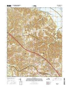
2016 Map of Toano
USGS Topo · Published 2016About this map
Barhamsville and Toano anchor this Tidewater landscape where the historic road networks of New Kent and James City counties intersect. The topography is defined by an intricate system of lowlands and drainages, including Wahani Swamp, Richardson Swamp, and Bird Swamp, which feed into larger water bodies like the York River at Terrapin Point. The local economy and geography are further shaped by industrial and natural features such as the Taylor Pit and Richardson Millpond.
Find a feature on this map
112 named features on this map. Tap any name to fly to it.
Don’t see what you’re looking for? This feature index may not catch every label — zoom into the map to look around manually.
Map Details
Editions of this 2016 Toano Map
This is the sole edition of this map. No revisions or reprints were ever made.
Other maps of this area

1906 · Williamsburg
USGS Topo · 1:62,500

1917 · Urbanna
USGS Topo · 1:62,500

1917 · Toano
USGS Topo · 1:62,500

1918 · Toano
USGS Topo · 1:62,500

1919 · New Kent
USGS Topo · 1:62,500

1943 · Richmond
USGS Topo · 1:250,000

1949 · Shacklefords
USGS Topo · 1:24,000

1949 · New Kent
USGS Topo · 1:24,000

1949 · Richmond
USGS Topo · 1:250,000

1950 · West Point
USGS Topo · 1:24,000