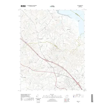
2019 Map of Toano
USGS Topo · Published 2019About this map
The York River shoreline and its intricate network of coastal wetlands define this region of the Virginia Peninsula. Tidewater geography is prominently displayed through expansive marshes such as Wahrani Swamp, Richardson Swamp, and Ware Creek, which drain toward Terrapin Point. The settlement pattern follows the high ground between these drainages, with the historic community of Toano serving as a focal point alongside Norge and Croaker.
Find a feature on this map
118 named features on this map. Tap any name to fly to it.
Don’t see what you’re looking for? This feature index may not catch every label — zoom into the map to look around manually.
Map Details
Editions of this 2019 Toano Map
This is the sole edition of this map. No revisions or reprints were ever made.
Other maps of this area

1906 · Williamsburg
USGS Topo · 1:62,500

1917 · Urbanna
USGS Topo · 1:62,500

1917 · Toano
USGS Topo · 1:62,500

1918 · Toano
USGS Topo · 1:62,500

1919 · New Kent
USGS Topo · 1:62,500

1943 · Richmond
USGS Topo · 1:250,000

1949 · Shacklefords
USGS Topo · 1:24,000

1949 · New Kent
USGS Topo · 1:24,000

1949 · Richmond
USGS Topo · 1:250,000

1950 · West Point
USGS Topo · 1:24,000