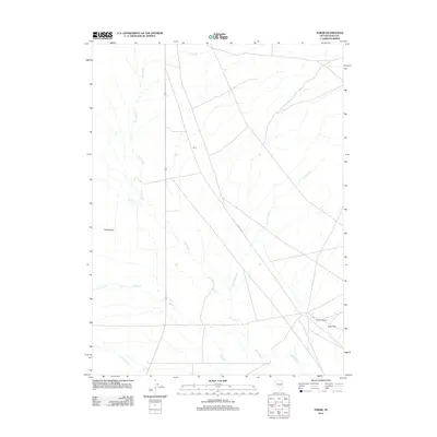
2012 Map of Tobar
USGS Topo · Published 2012About this map
Tobar (Historical) stands as a focal point in this high-desert landscape of Elko County, situated on the expansive Tobar Flat. This modern geospatial record documents a region shaped by intermittent water and transport corridors, where the winding path of The Slough and drainages like Flat Cypress Cr and Steele Cr cross the arid basin. Near the historical townsite, a Post Office and the utility-focused Rrmaint Rd indicate the enduring infrastructure associated with the rail corridor through eastern Nevada. Further north, the settlement of Ruby and landmarks such as The Mound provide additional geographic context to this sparsely populated territory, illustrating the persistent but thin footprint of human activity in the Great Basin at the start of the twenty-first century.
Find a feature on this map
10 named features on this map. Tap any name to fly to it.
Don’t see what you’re looking for? This feature index may not catch every label — zoom into the map to look around manually.
Map Details
Editions of this 2012 Tobar Map
This is the sole edition of this map. No revisions or reprints were ever made.
Other maps of this area
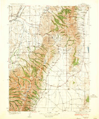
1935 · Halleck
USGS Topo · 1:125,000

1955 · Wells
USGS Topo · 1:250,000

1955 · Elko
USGS Topo · 1:250,000

1958 · Wells
USGS Topo · 1:250,000

1958 · Elko
USGS Topo · 1:250,000

1961 · Wells
USGS Topo · 1:250,000

1962 · Elko
USGS Topo · 1:250,000

1965 · Elko
USGS Topo · 1:250,000
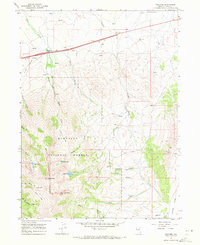
1967 · Welcome
USGS Topo · 1:24,000
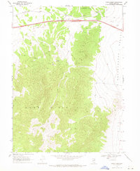
1968 · Moor Summit
USGS Topo · 1:24,000