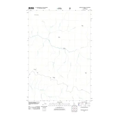
2011 Map of Toboggan Ridge
USGS Topo · Published 2011About this map
Kelly Creek and its many tributaries carve through this high-elevation landscape in Clearwater County, where the 2011 topography reveals a complex network of ridgelines and remote watercourses. High points like Kellys Thumb and Little Moose Ridge dominate the northern portion of the map, while Toboggan Ridge and Toboggan Hill anchor the southern reaches. The drainage patterns are intricate, featuring named streams such as Kodiak Creek, Bear Creek, and Cub Creek feeding into the larger valley systems. Evidence of historical land use and travel is visible in the presence of Hanson Meadows and the winding paths of Forest Service roads 581 and 581b. This survey provides a clear view of the wilderness character of the Idaho backcountry, noting specific terrain features like Deer Ridge and the Rock Garden Creek valley.
Find a feature on this map
26 named features on this map. Tap any name to fly to it.
Don’t see what you’re looking for? This feature index may not catch every label — zoom into the map to look around manually.
Map Details
Editions of this 2011 Toboggan Ridge Map
This is the sole edition of this map. No revisions or reprints were ever made.
Other maps of this area
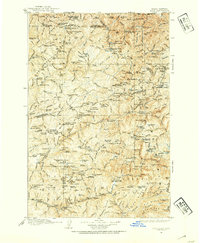
1911 · Lolo
USGS Topo · 1:250,000
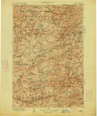
1913 · Lolo
USGS Topo · 1:250,000
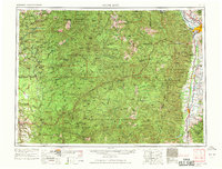
1956 · Hamilton
USGS Topo · 1:250,000
1959 · Hamilton
USGS Topo · 1:250,000
1960 · Hamilton
USGS Topo · 1:250,000
1960 · Straight Peak
USGS Topo · 1:62,500
1964 · Hamilton
USGS Topo · 1:250,000
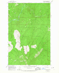
1965 · Osier Ridge
USGS Topo · 1:24,000
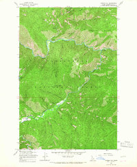
1965 · Gorman Hill
USGS Topo · 1:24,000
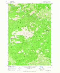
1965 · Horseshoe Lake
USGS Topo · 1:24,000