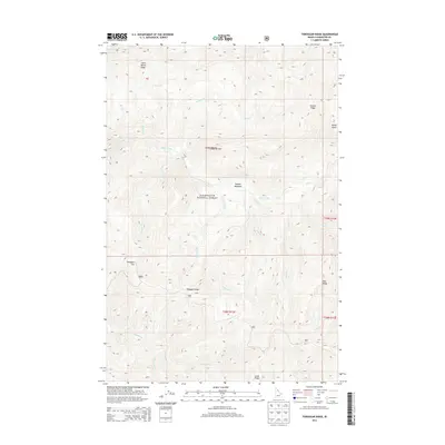
2013 Map of Toboggan Ridge
USGS Topo · Published 2013About this map
Clearwater National Forest dominates this section of the Idaho backcountry, defined by the significant drainage of Kelly Creek. The landscape is a complex network of high ridges and deep creek basins, including Little Moose Ridge in the north and the namesake Toboggan Ridge further south. This 2013 survey documents the interior topography of the forest as it appeared in the early 21st century, showing no established settlements but detailing named landmarks like Kellys Sister and Kellys Thumb. Numerous waterways, such as Kodiak Cr, Bear Cr, and Cub Cr, feed into the larger creek systems. High-altitude meadows, including Hanson Meadows, provide distinct breaks in the timbered terrain. This map serves as an essential record for those studying the remote geography of Clearwater County, marking points like Toboggan Hill and Deer Ridge that have long guided travel through this region.
Find a feature on this map
32 named features on this map. Tap any name to fly to it.
Don’t see what you’re looking for? This feature index may not catch every label — zoom into the map to look around manually.
Map Details
Editions of this 2013 Toboggan Ridge Map
This is the sole edition of this map. No revisions or reprints were ever made.
Other maps of this area
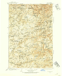
1911 · Lolo
USGS Topo · 1:250,000
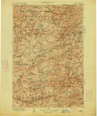
1913 · Lolo
USGS Topo · 1:250,000
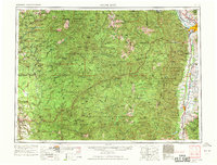
1956 · Hamilton
USGS Topo · 1:250,000
1959 · Hamilton
USGS Topo · 1:250,000
1960 · Hamilton
USGS Topo · 1:250,000
1960 · Straight Peak
USGS Topo · 1:62,500
1964 · Hamilton
USGS Topo · 1:250,000
1965 · Osier Ridge
USGS Topo · 1:24,000
1965 · Gorman Hill
USGS Topo · 1:24,000
1965 · Horseshoe Lake
USGS Topo · 1:24,000