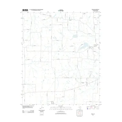
2013 Map of Toco
USGS Topo · Published 2013About this map
Toco and its surrounding Lamar County landscape are defined by a network of rural routes and the headwaters of several critical drainages. The area is characterized by small agricultural settlements such as Sumner, Hopewell, and Globe, which are linked by an extensive system of farm roads including Farm Road 79 and Farm Road 1500. For genealogists, the map preserves the locations of community landmarks like Little Vine Cem, Prairie Ridge Cem, and Jackson Cem, which serve as physical markers of the region's family histories.
Find a feature on this map
65 named features on this map. Tap any name to fly to it.
Don’t see what you’re looking for? This feature index may not catch every label — zoom into the map to look around manually.
Map Details
Editions of this 2013 Toco Map
This is the sole edition of this map. No revisions or reprints were ever made.
Other maps of this area
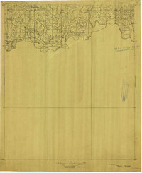
1903 · Paris
USGS Topo · 1:125,000
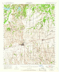
1947 · Honey Grove
USGS Topo · 1:62,500
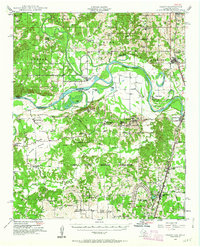
1948 · Grant
USGS Topo · 1:62,500
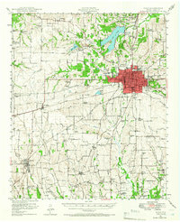
1948 · Paris
USGS Topo · 1:62,500
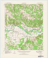
1948 · Direct
USGS Topo · 1:62,500
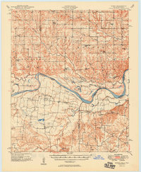
1949 · Direct
USGS Topo · 1:62,500
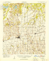
1949 · Honey Grove
USGS Topo · 1:62,500
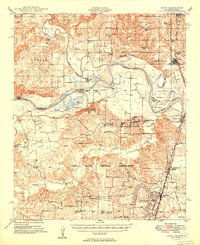
1949 · Grant
USGS Topo · 1:62,500
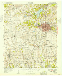
1949 · Paris
USGS Topo · 1:62,500

1953 · Texarkana
USGS Topo · 1:250,000