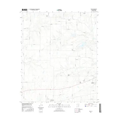
2016 Map of Toco
USGS Topo · Published 2016About this map
The agricultural landscape of Lamar County unfolds across this contemporary survey, centered on the western approaches to Paris. Small rural settlements like Globe, Sumner, and Brookston dot the landscape, connected by an extensive network of county roads that reflect the area's enduring ranching and farming heritage. Significant water features such as Pine Creek and Lake Gibbons provide local drainage and recreation, while the State Highway 5 Bridge serves as a notable landmark for those traveling through the rolling plains.
Find a feature on this map
63 named features on this map. Tap any name to fly to it.
Don’t see what you’re looking for? This feature index may not catch every label — zoom into the map to look around manually.
Map Details
Editions of this 2016 Toco Map
This is the sole edition of this map. No revisions or reprints were ever made.
Other maps of this area
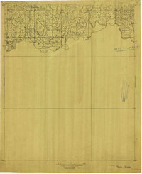
1903 · Paris
USGS Topo · 1:125,000
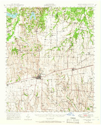
1947 · Honey Grove
USGS Topo · 1:62,500
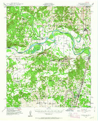
1948 · Grant
USGS Topo · 1:62,500
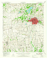
1948 · Paris
USGS Topo · 1:62,500
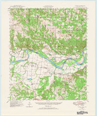
1948 · Direct
USGS Topo · 1:62,500
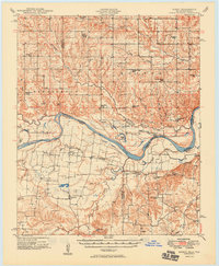
1949 · Direct
USGS Topo · 1:62,500
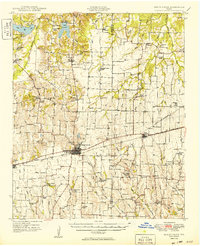
1949 · Honey Grove
USGS Topo · 1:62,500
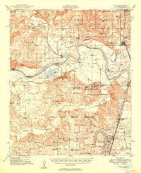
1949 · Grant
USGS Topo · 1:62,500
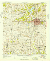
1949 · Paris
USGS Topo · 1:62,500

1953 · Texarkana
USGS Topo · 1:250,000