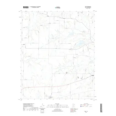
2019 Map of Toco
USGS Topo · Published 2019About this map
Lake Gibbons and the headwaters of Pine Cr define this landscape west of Paris in the late 2010s. The map illustrates a rural Texas county organized around a dense network of farm-to-market roads and county routes, connecting small agricultural settlements such as Sumner, Globe, and Brookston. Significant for local history and genealogy, the survey identifies several small burial grounds like Prairie Ridge Cem and Jackson Cem, alongside the Little Vine Cem located near its namesake creek. Aviation activity is noted at the Flying Tigers Airport near Toco. The drainage patterns of Little Pine Cr and Maxwell Cr are clearly visible, showing how the local terrain flows toward the south and east. Modern infrastructure is represented by the State Highway 5 Bridge and the extensive system of numbered county roads that link these long-standing farming communities.
Find a feature on this map
67 named features on this map. Tap any name to fly to it.
Don’t see what you’re looking for? This feature index may not catch every label — zoom into the map to look around manually.
Map Details
Editions of this 2019 Toco Map
This is the sole edition of this map. No revisions or reprints were ever made.
Other maps of this area
1903 · Paris
USGS Topo · 1:125,000
1947 · Honey Grove
USGS Topo · 1:62,500
1948 · Grant
USGS Topo · 1:62,500
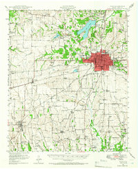
1948 · Paris
USGS Topo · 1:62,500
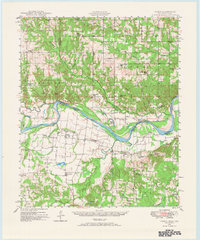
1948 · Direct
USGS Topo · 1:62,500
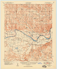
1949 · Direct
USGS Topo · 1:62,500
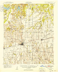
1949 · Honey Grove
USGS Topo · 1:62,500
1949 · Grant
USGS Topo · 1:62,500
1949 · Paris
USGS Topo · 1:62,500

1953 · Texarkana
USGS Topo · 1:250,000