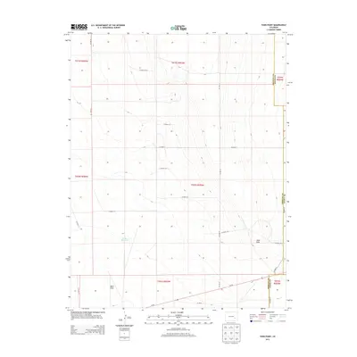
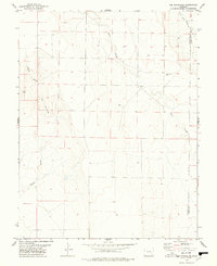
2013 Map of Todd Point
USGS Topo · Published 2013About this map
Lolita Reservoir sits as a primary water source in this high plains landscape at the intersection of Otero, Crowley, and Kiowa counties. The terrain is defined by wide drainage patterns like Black Draw and elevated landforms such as Todd Point, which rises above the surrounding section lines. A rigid grid of rural infrastructure connects the region, with Co-96 and CO Hwy 31 serving as the main arteries for agricultural transport. This survey illustrates the 21st-century management of water and transit in a sparsely populated corner of Colorado, where county lines and local access roads like CO Line 25 and CO Road 59.77 dictate the movement of people and livestock.
Find a feature on this map
19 named features on this map. Tap any name to fly to it.
Don’t see what you’re looking for? This feature index may not catch every label — zoom into the map to look around manually.
Map Details
Editions of this 2013 Todd Point Map
This is the sole edition of this map. No revisions or reprints were ever made.
Other maps of this area
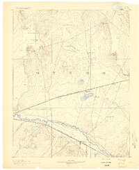
1891 · Catlin
USGS Topo · 1:125,000
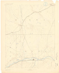
1891 · Las Animas
USGS Topo · 1:125,000
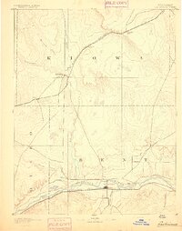
1893 · Las Animas
USGS Topo · 1:125,000
1893 · Catlin
USGS Topo · 1:125,000
1954 · Meredith Hill
USGS Topo · 1:24,000
1954 · Sugar City
USGS Topo · 1:24,000

1954 · Lamar
USGS Topo · 1:250,000
1955 · Lewis Ranch
USGS Topo · 1:24,000

1958 · Lamar
USGS Topo · 1:250,000
1977 · The Pinnacles
USGS Topo · 1:24,000