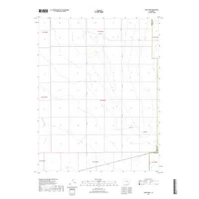
2019 Map of Todd Point
USGS Topo · Published 2019About this map
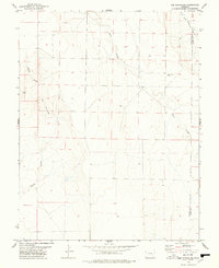
Todd Point rises above the high plains of Southeast Colorado where the boundaries of three counties meet. This 2019 survey captures a landscape primarily defined by its large-scale section divisions and a network of rural county roads including Co Rd L 3/10 and Co Rd S 5/10. The terrain is characterized by subtle elevation changes and seasonal watercourses such as Black Draw, which threads through the western portion of the quadrangle. The map highlights the intersection of Otero Co, Crowley Co, and Kiowa Co, marking a point of administrative convergence in an area dominated by open range and agricultural parcels. This document is particularly useful for understanding modern land management and boundary lines in a part of the state where the vastness of the plains is organized by a precise grid of county lanes and township ranges.
Find a feature on this map
20 named features on this map. Tap any name to fly to it.
Don’t see what you’re looking for? This feature index may not catch every label — zoom into the map to look around manually.
Map Details
Editions of this 2019 Todd Point Map
This is the sole edition of this map. No revisions or reprints were ever made.
Other maps of this area
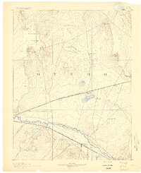
1891 · Catlin
USGS Topo · 1:125,000
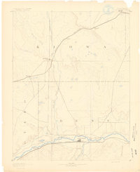
1891 · Las Animas
USGS Topo · 1:125,000
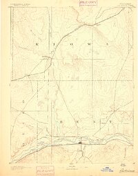
1893 · Las Animas
USGS Topo · 1:125,000
1893 · Catlin
USGS Topo · 1:125,000
1954 · Meredith Hill
USGS Topo · 1:24,000
1954 · Sugar City
USGS Topo · 1:24,000

1954 · Lamar
USGS Topo · 1:250,000
1955 · Lewis Ranch
USGS Topo · 1:24,000

1958 · Lamar
USGS Topo · 1:250,000
1977 · The Pinnacles
USGS Topo · 1:24,000