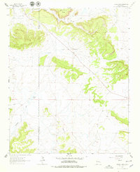
1963 Map of Togeye Lake
USGS Topo · Published 1979About this map
Pueblo Ruins sit high on the landscape north of Dog Lake, offering a window into the ancestral human presence on this high desert plateau. The map records a transition point in New Mexico's political geography, tracing the border between McKinley County and Valencia County across a terrain of stark mesas and intermittent water. Significant geological formations such as Wild Sheep Mesa and the prominent Los Gigantes ridge dominate the topography, while drainage patterns like Crockett Draw and the Loma Medios foothills shape the lowlands. The presence of ephemeral water bodies like Togeye Lake and isolated wells suggests a landscape where water management was vital for the scattered ranching or resource extraction activities indicated by a small Gravel Pit.
Find a feature on this map
11 named features on this map. Tap any name to fly to it.
Don’t see what you’re looking for? This feature index may not catch every label — zoom into the map to look around manually.
Map Details
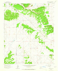
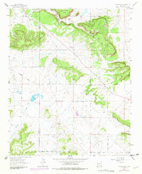
Editions of this 1963 Togeye Lake Map
3 editions found
Other maps of this area

1886 · Wingate
USGS Topo · 1:250,000

1892 · Wingate
USGS Topo · 1:250,000

1954 · Saint Johns
USGS Topo · 1:250,000

1954 · Gallup
USGS Topo · 1:250,000

1957 · Saint Johns
USGS Topo · 1:250,000

1958 · Gallup
USGS Topo · 1:250,000

1958 · Saint Johns
USGS Topo · 1:250,000

1959 · Gallup
USGS Topo · 1:250,000

1962 · Gallup
USGS Topo · 1:250,000

1962 · Saint Johns
USGS Topo · 1:250,000