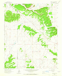
1963 Map of Togeye Lake
USGS Topo · Published 1965About this map
Pueblo Ruins and a Cliff Dwelling highlight the deep ancestral history of the high desert terrain on the boundary between McKinley and Valencia counties in the early 1960s. The landscape is defined by the prominent Wild Sheep Mesa and the distinct formation of Los Gigantes, where seasonal water sources like Dog Lake and Togeye Lake interrupt the arid plateaus. The topography reveals the intricate drainage patterns of Crockett Draw and the rising elevations of Loma Medios. Settlement remains sparse in this region, though the presence of the Mormon Ch and isolated resource markers like a Gravel Pit along State Route 53 indicate a modest human footprint tied to community and transit through this expansive landscape.
Find a feature on this map
12 named features on this map. Tap any name to fly to it.
Don’t see what you’re looking for? This feature index may not catch every label — zoom into the map to look around manually.
Map Details
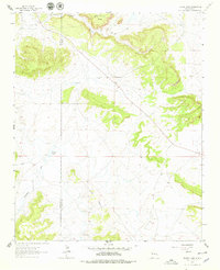
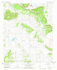
Editions of this 1963 Togeye Lake Map
3 editions found
Other maps of this area

1886 · Wingate
USGS Topo · 1:250,000

1892 · Wingate
USGS Topo · 1:250,000

1954 · Saint Johns
USGS Topo · 1:250,000

1954 · Gallup
USGS Topo · 1:250,000

1957 · Saint Johns
USGS Topo · 1:250,000

1958 · Gallup
USGS Topo · 1:250,000

1958 · Saint Johns
USGS Topo · 1:250,000

1959 · Gallup
USGS Topo · 1:250,000

1962 · Gallup
USGS Topo · 1:250,000

1962 · Saint Johns
USGS Topo · 1:250,000