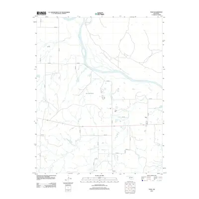
2012 Map of Togo
USGS Topo · Published 2012About this map
The Cimarron River carves a wide, winding path across this portion of Major County, defining the drainage patterns for numerous local tributaries like Walnut Grove Cr and the braided reaches of Griever Cr. The landscape is a mix of agricultural sections and energy production, anchored by the East Campbell Gas Field. Small, rural centers of community life are preserved in the form of the Lone Star Cem in the northwest and Connor Cem near the southern boundary, providing essential landmarks for genealogical research in this sparsely populated region.
Find a feature on this map
31 named features on this map. Tap any name to fly to it.
Don’t see what you’re looking for? This feature index may not catch every label — zoom into the map to look around manually.
Map Details
Editions of this 2012 Togo Map
This is the sole edition of this map. No revisions or reprints were ever made.
Other maps of this area

1955 · Woodward
USGS Topo · 1:250,000

1958 · Woodward
USGS Topo · 1:250,000

1969 · Phroso
USGS Topo · 1:24,000

1969 · Belva
USGS Topo · 1:24,000

1969 · Dacoma SW
USGS Topo · 1:24,000

1969 · Glass Mountains NW
USGS Topo · 1:24,000

1969 · Waynoka East
USGS Topo · 1:24,000

1969 · Cedardale
USGS Topo · 1:24,000

1969 · Togo
USGS Topo · 1:24,000

1969 · Waynoka West
USGS Topo · 1:24,000