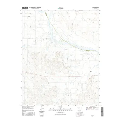
2016 Map of Togo
USGS Topo · Published 2016About this map
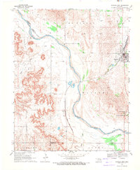
The braided channels of the Cimarron River cut a wide path across this portion of Oklahoma, defining the border between Woods and Major counties. In this rural landscape, small settlements and landmarks provide essential orientation for researchers and genealogists. The community of Togo sits in the eastern portion of the quadrangle, while the heights of Lone Mtn rise above the surrounding plains to the northwest. Land use is largely defined by a grid of section roads, with several smaller water bodies such as Bell Lake and Callison Lake dotting the terrain. Burial sites like Lone Star Cem and Connor Cem offer vital clues for those tracing family history in the region, while drainage systems like Walnut Grove Cr and Griever Cr feed into the primary river valley.
Find a feature on this map
27 named features on this map. Tap any name to fly to it.
Don’t see what you’re looking for? This feature index may not catch every label — zoom into the map to look around manually.
Map Details
Editions of this 2016 Togo Map
This is the sole edition of this map. No revisions or reprints were ever made.
Other maps of this area

1955 · Woodward
USGS Topo · 1:250,000

1958 · Woodward
USGS Topo · 1:250,000
1969 · Phroso
USGS Topo · 1:24,000
1969 · Belva
USGS Topo · 1:24,000
1969 · Dacoma SW
USGS Topo · 1:24,000
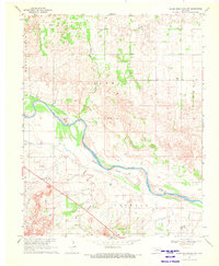
1969 · Glass Mountains NW
USGS Topo · 1:24,000
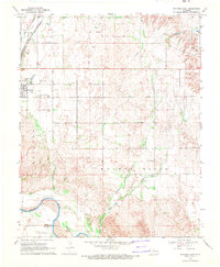
1969 · Waynoka East
USGS Topo · 1:24,000
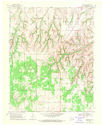
1969 · Cedardale
USGS Topo · 1:24,000
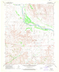
1969 · Togo
USGS Topo · 1:24,000
1969 · Waynoka West
USGS Topo · 1:24,000