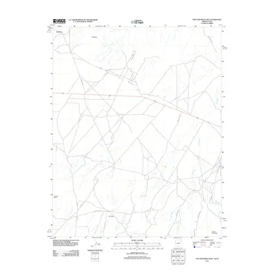
2011 Map of Toh Atin Mesa East
USGS Topo · Published 2011About this map
Red Mesa dominates the northern expanse of this high-desert landscape near the Arizona and Utah border. This 2011 survey reveals a complex network of unpaved transit ways, including Indian Rte 35 and Co Rd C471, which connect the isolated plateau regions. The topography is defined by significant landforms like Toh Atin Mesa and Dry Mesa, which rise above the ephemeral drainage of Tsitah Wash. Toward the southeast, the terrain ascends into the foothills of the Carrizo Mountains. The map is particularly useful for understanding modern access routes across Tribal lands, illustrating how local roads like Indian Rte 5049 and Indian Rte 5035 navigate the varied elevations and desert washes of the Four Corners region.
Find a feature on this map
14 named features on this map. Tap any name to fly to it.
Don’t see what you’re looking for? This feature index may not catch every label — zoom into the map to look around manually.
Map Details
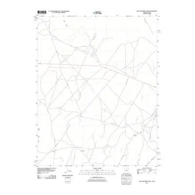
Editions of this 2011 Toh Atin Mesa East Map
2 editions found
Other maps of this area

1886 · Abajo
USGS Topo · 1:250,000

1892 · Abajo
USGS Topo · 1:250,000

1892 · Canyon De Chelly
USGS Topo · 1:250,000

1893 · Abajo
USGS Topo · 1:250,000

1953 · Dinne Mesa NW
USGS Topo · 1:24,000

1953 · Pastora Peak SW
USGS Topo · 1:24,000

1953 · Pastora Peak NW
USGS Topo · 1:24,000

1953 · Dinne Mesa NE
USGS Topo · 1:24,000

1953 · Dinne Mesa SW
USGS Topo · 1:24,000

1953 · Dinne Mesa SE
USGS Topo · 1:24,000