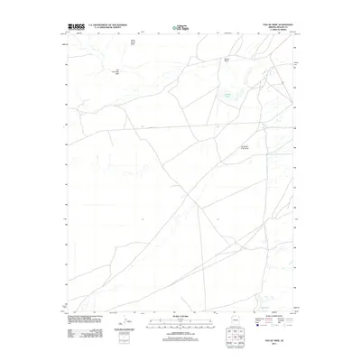
2011 Map of Toh De Niihe
USGS Topo · Published 2011About this map
Toh De Niihe is the focal point of this arid landscape, where seasonal drainage patterns define the geography. The area's hydrology is marked by the convergence of several ephemeral watercourses, including Balakai Wash and Tse Ba Ni Zi Ni Wash, which cut through the high desert floor. These washes play a central role in the local environment, directing the flow of water and sediment during peak precipitation events.
Find a feature on this map
7 named features on this map. Tap any name to fly to it.
Don’t see what you’re looking for? This feature index may not catch every label — zoom into the map to look around manually.
Map Details
Editions of this 2011 Toh De Niihe Map
This is the sole edition of this map. No revisions or reprints were ever made.
Other maps of this area
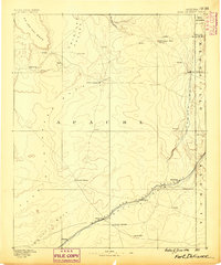
1886 · Fort Defiance
USGS Topo · 1:250,000
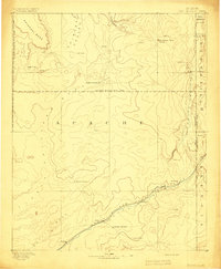
1892 · Fort Defiance
USGS Topo · 1:250,000
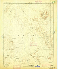
1892 · Canyon De Chelly
USGS Topo · 1:250,000
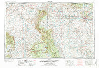
1954 · Shiprock
USGS Topo · 1:250,000

1954 · Gallup
USGS Topo · 1:250,000
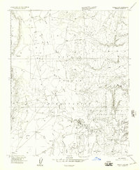
1955 · Chinle 4 NE
USGS Topo · 1:24,000
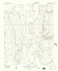
1955 · Chinle 4 SE
USGS Topo · 1:24,000
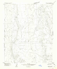
1955 · Ganado 1 NE
USGS Topo · 1:24,000

1958 · Gallup
USGS Topo · 1:250,000
1958 · Shiprock
USGS Topo · 1:250,000