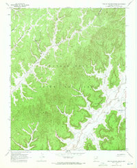
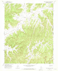
1968 Map of Toh Ne Zhonnie Spring
USGS Topo · Published 1971About this map
Toh Ne Zhonnie Spring and Cliff Spring serve as rare water sources in this arid expanse of Navajo County, which was designated as the Navajo Hopi Joint Use Area at the time of this 1968 field check. The landscape is defined by a intricate system of washes and valleys, including the broad Toh Ne Zhonnie Valley and the distinctive Lone Rugged Tree Valley.
Find a feature on this map
23 named features on this map. Tap any name to fly to it.
Don’t see what you’re looking for? This feature index may not catch every label — zoom into the map to look around manually.
Map Details
Editions of this 1968 Toh Ne Zhonnie Spring Map
This is the sole edition of this map. No revisions or reprints were ever made.
Other maps of this area

1883 · Marsh Pass
USGS Topo · 1:250,000

1892 · Marsh Pass
USGS Topo · 1:250,000

1956 · Marble Canyon
USGS Topo · 1:250,000

1959 · Marble Canyon
USGS Topo · 1:250,000

1961 · Marble Canyon
USGS Topo · 1:250,000
1967 · Pinon NW
USGS Topo · 1:24,000
1967 · Coat Spring
USGS Topo · 1:24,000
1967 · Burnt Corn Spring
USGS Topo · 1:24,000
1968 · Hole In Rock Valley
USGS Topo · 1:24,000

1968 · Yucca Hill
USGS Topo · 1:24,000