
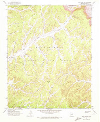
1968 Map of Yucca Hill
USGS Topo · Published 1972About this map
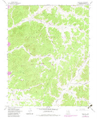
The Navajo Hopi Joint Use Area dominates this high-altitude desert terrain in Navajo County, mapped by the Geological Survey during the late 1960s. The landscape is defined by a complex system of seasonal drainages, including the prominent Moenkopi Wash and Dinnebito Wash, which carve through deep depressions like Reed Valley and White House Valley. These washes represent the critical water-management geography of the region, where life centers on isolated resources such as Reed Well and the scattered Corrals found near Yucca Flat. In the south, the distinctive Yucca Hill rises as a landmark overlooking Resting Cattle Valley. This survey captures the topographical character of the land before significant modern development, emphasizing the natural divisions of the Navajo Indian Reservation Boundary and the shared administrative zones that defined local land use in this era.
Find a feature on this map
21 named features on this map. Tap any name to fly to it.
Don’t see what you’re looking for? This feature index may not catch every label — zoom into the map to look around manually.
Map Details
Editions of this 1968 Yucca Hill Map
2 editions found
Other maps of this area

1883 · Marsh Pass
USGS Topo · 1:250,000

1892 · Marsh Pass
USGS Topo · 1:250,000

1956 · Marble Canyon
USGS Topo · 1:250,000

1959 · Marble Canyon
USGS Topo · 1:250,000

1961 · Marble Canyon
USGS Topo · 1:250,000
1968 · Owl Valley
USGS Topo · 1:24,000
1968 · Toh Ne Zhonnie Spring
USGS Topo · 1:24,000
1968 · Owl Spring
USGS Topo · 1:24,000
1968 · Cliff Rose Hill
USGS Topo · 1:24,000
1968 · Marsh Pass SE
USGS Topo · 1:24,000