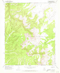
1968 Map of Owl Spring
USGS Topo · Published 1971About this map
Navajo Indian Reservation lands dominate this late-1960s survey, revealing a landscape defined by deep-cut drainage systems and ancient human presence. Ancient Cliff Dwelling sites are noted along the steep canyon walls, situated above the braided courses of Moenkopi Wash and Aasayii Wash. The map documents a scattered network of water sources essential for livestock and subsistence, such as Owl Spring and the evocatively named Many Skull Spring.
Find a feature on this map
16 named features on this map. Tap any name to fly to it.
Don’t see what you’re looking for? This feature index may not catch every label — zoom into the map to look around manually.
Map Details
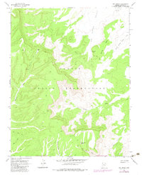
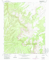
Editions of this 1968 Owl Spring Map
3 editions found
Other maps of this area

1883 · Marsh Pass
USGS Topo · 1:250,000

1892 · Marsh Pass
USGS Topo · 1:250,000

1956 · Marble Canyon
USGS Topo · 1:250,000

1959 · Marble Canyon
USGS Topo · 1:250,000

1961 · Marble Canyon
USGS Topo · 1:250,000
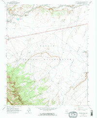
1968 · Kayenta East
USGS Topo · 1:24,000
1968 · Kayenta West
USGS Topo · 1:24,000

1968 · Yucca Hill
USGS Topo · 1:24,000
1968 · Chilchinbito
USGS Topo · 1:24,000
1968 · Chilchinbito Canyon
USGS Topo · 1:24,000