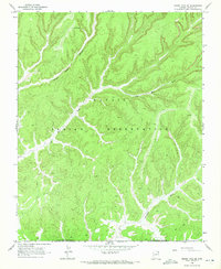
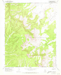
1968 Map of Marsh Pass SE
USGS Topo · Published 1972About this map
Navajo Indian Reservation lands dominate this high-desert landscape in northern Arizona, as documented by field checks in 1968. The geography is defined by a complex network of drainages and seasonal water sources, most notably the confluence area of Yellow Water Canyon and Coal Mine Wash. These seasonal waterways carve deep through the terrain, eventually feeding into the Moenkopi Wash in the southern portion of the quadrangle. Sparse but vital water points like Pine Spring and a nameless Spring near the eastern edge provide the only perennial water in an otherwise arid region. The presence of the Navajo-Hopi Joint Use Area Boundary reflects the complex jurisdictional history and land tenure of the late 1960s, a period when transportation in the area was largely limited to rugged Jeep Trails.
Find a feature on this map
8 named features on this map. Tap any name to fly to it.
Don’t see what you’re looking for? This feature index may not catch every label — zoom into the map to look around manually.
Map Details
Editions of this 1968 Marsh Pass SE Map
2 editions found
Other maps of this area

1883 · Marsh Pass
USGS Topo · 1:250,000

1892 · Marsh Pass
USGS Topo · 1:250,000

1956 · Marble Canyon
USGS Topo · 1:250,000

1959 · Marble Canyon
USGS Topo · 1:250,000

1961 · Marble Canyon
USGS Topo · 1:250,000
1968 · Kayenta East
USGS Topo · 1:24,000
1968 · Kayenta West
USGS Topo · 1:24,000

1968 · Marsh Pass
USGS Topo · 1:24,000
1968 · Owl Spring
USGS Topo · 1:24,000

1968 · Yucca Hill
USGS Topo · 1:24,000