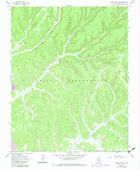
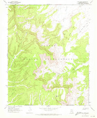
1968 Map of Marsh Pass SE
USGS Topo · Published 1983About this map
Navajo Indian Reservation lands dominate this high-desert landscape, captured through photogrammetric methods in the late 1960s with updates from 1980. The terrain is defined by a complex network of seasonal drainage channels, including the prominent Moenkopi Wash and Coal Mine Wash. These waterways carve through the plateau, revealing the geological layers that supported local industry, as evidenced by a Strip Mine located in the southwestern corner.
Find a feature on this map
9 named features on this map. Tap any name to fly to it.
Don’t see what you’re looking for? This feature index may not catch every label — zoom into the map to look around manually.
Map Details
Editions of this 1968 Marsh Pass SE Map
2 editions found
Other maps of this area

1883 · Marsh Pass
USGS Topo · 1:250,000

1892 · Marsh Pass
USGS Topo · 1:250,000

1956 · Marble Canyon
USGS Topo · 1:250,000

1959 · Marble Canyon
USGS Topo · 1:250,000

1961 · Marble Canyon
USGS Topo · 1:250,000
1968 · Kayenta East
USGS Topo · 1:24,000
1968 · Kayenta West
USGS Topo · 1:24,000

1968 · Marsh Pass
USGS Topo · 1:24,000
1968 · Owl Spring
USGS Topo · 1:24,000

1968 · Yucca Hill
USGS Topo · 1:24,000