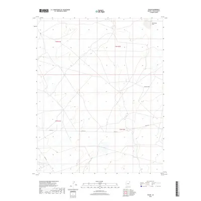
2018 Map of Tolani
USGS Topo · Published 2018About this map
Tolani serves as the focal point of this arid landscape in the Chinle Agency region. The settlement is positioned near the junction of vital transit corridors, specifically Indian Rte 25 and Indian Rte 26, which cut across the high desert terrain. The hydrology of the area is defined by ephemeral drainages including Pine Springs Wash in the northeast and Bi Keesh Wash further south. These seasonal watercourses dictate the historical movement and land use patterns of the local community, as reflected in the sparse but intentional placement of roads and structures. The map provides a detailed view of the Public Land Survey System boundaries, specifically the intersection of T30N and T29N with R24E and R25E, illustrating how modern administrative lines overlay this traditional landscape.
Find a feature on this map
9 named features on this map. Tap any name to fly to it.
Don’t see what you’re looking for? This feature index may not catch every label — zoom into the map to look around manually.
Map Details
Editions of this 2018 Tolani Map
This is the sole edition of this map. No revisions or reprints were ever made.
Other maps of this area
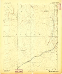
1886 · Fort Defiance
USGS Topo · 1:250,000
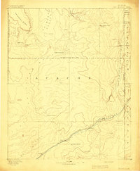
1892 · Fort Defiance
USGS Topo · 1:250,000
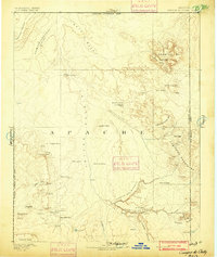
1892 · Canyon De Chelly
USGS Topo · 1:250,000

1954 · Shiprock
USGS Topo · 1:250,000

1954 · Gallup
USGS Topo · 1:250,000
1955 · Chinle 4 SE
USGS Topo · 1:24,000
1955 · Ganado 1 NE
USGS Topo · 1:24,000
1958 · Gallup
USGS Topo · 1:250,000
1958 · Shiprock
USGS Topo · 1:250,000
1959 · Shiprock
USGS Topo · 1:250,000