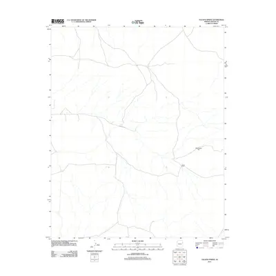
2011 Map of Tolapai Spring
USGS Topo · Published 2011About this map
Tolapai Spring serves as a vital water source in this high desert region of the Fort Defiance Agency. The 2011 landscape is defined by sparse human intervention, primarily focused around Roberts Ranch and a network of unpaved roads and 4WD tracks that navigate the drainage basins. Arroyos and intermittent streams carve through the terrain, leading toward the prominent elevation of Rattlesnake Hill. This survey highlights the persistent rural character of the Apache County backcountry, where the placement of cattle tanks and springs reflects the enduring importance of livestock and water management in a demanding environment.
Find a feature on this map
3 named features on this map. Tap any name to fly to it.
Don’t see what you’re looking for? This feature index may not catch every label — zoom into the map to look around manually.
Map Details
Editions of this 2011 Tolapai Spring Map
This is the sole edition of this map. No revisions or reprints were ever made.
Other maps of this area
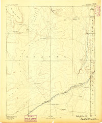
1886 · Fort Defiance
USGS Topo · 1:250,000
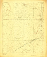
1892 · Fort Defiance
USGS Topo · 1:250,000

1954 · Gallup
USGS Topo · 1:250,000
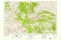
1958 · Gallup
USGS Topo · 1:250,000
1959 · Gallup
USGS Topo · 1:250,000
1962 · Gallup
USGS Topo · 1:250,000
1967 · Gallup
USGS Topo · 1:250,000
1971 · Burntwater Wash
USGS Topo · 1:24,000
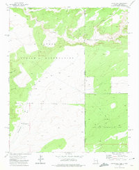
1971 · Chafin Well
USGS Topo · 1:24,000
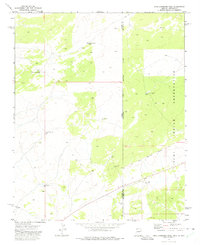
1971 · High Lonesome Well
USGS Topo · 1:24,000