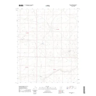
2018 Map of Tolapai Spring
USGS Topo · Published 2018About this map
Tolapai Spring serves as a vital water source in this high-elevation landscape within the Fort Defiance Agency. The terrain is defined by the significant rise of Rattlesnake Hill and the drainage patterns of Parker Draw. This 2018 survey illustrates a sparsely settled region of the Navajo Nation where infrastructure is limited primarily to routes like Clay Mine Rd. The map provides a detailed look at the Public Land Survey System divisions, including t21n r29e and t21n r30e, which are essential for property research and understanding the jurisdictional layout of the Apache County backcountry.
Find a feature on this map
8 named features on this map. Tap any name to fly to it.
Don’t see what you’re looking for? This feature index may not catch every label — zoom into the map to look around manually.
Map Details
Editions of this 2018 Tolapai Spring Map
This is the sole edition of this map. No revisions or reprints were ever made.
Other maps of this area
1886 · Fort Defiance
USGS Topo · 1:250,000
1892 · Fort Defiance
USGS Topo · 1:250,000

1954 · Gallup
USGS Topo · 1:250,000
1958 · Gallup
USGS Topo · 1:250,000
1959 · Gallup
USGS Topo · 1:250,000
1962 · Gallup
USGS Topo · 1:250,000
1967 · Gallup
USGS Topo · 1:250,000
1971 · Burntwater Wash
USGS Topo · 1:24,000
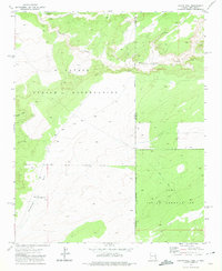
1971 · Chafin Well
USGS Topo · 1:24,000
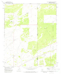
1971 · High Lonesome Well
USGS Topo · 1:24,000