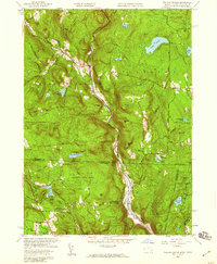
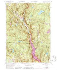
1958 Map of Tolland Center
USGS Topo · Published 1959About this map
Sandisfield State Forest and Algonquin State Forest dominate this late-1950s landscape, illustrating a region defined by managed timberlands and a transition toward recreation. The terrain is marked by significant elevations like Hanging Mtn and Mount Prospect, while the West Branch Farmington River carves a deep valley that serves as the primary corridor for settlements such as New Boston and Roosterville. This period saw the infrastructure for the Farmington River Reservoir and Hogback Dam clearly established, reflecting mid-century water management efforts across the state boundary. Local history is preserved in the locations of Roberts Cem and Dubois Cem, as well as the transition of the landscape into seasonal retreats like Camp Jewell and Camp Wynbrooke.
Find a feature on this map
80 named features on this map. Tap any name to fly to it.
Don’t see what you’re looking for? This feature index may not catch every label — zoom into the map to look around manually.
Map Details
Editions of this 1958 Tolland Center Map
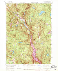
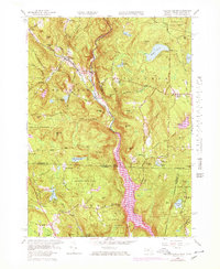
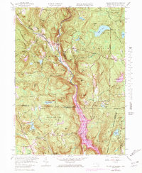
5 editions found
Other maps of this area

1887 · Granville
USGS Topo · 1:62,500

1888 · Sandisfield
USGS Topo · 1:62,500

1889 · Granville
USGS Topo · 1:62,500

1892 · Winsted
USGS Topo · 1:62,500

1892 · Granby
USGS Topo · 1:62,500

1893 · Granville
USGS Topo · 1:62,500

1893 · Sandisfield
USGS Topo · 1:62,500

1895 · Granville
USGS Topo · 1:62,500

1896 · Holyoke
USGS Topo · 1:125,000

1897 · Sandisfield
USGS Topo · 1:62,500