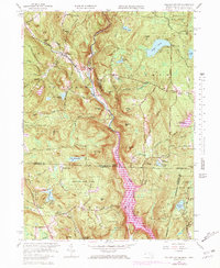
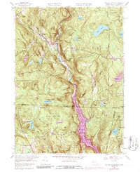
1958 Map of Tolland Center
USGS Topo · Published 1978About this map
The West Branch Farmington River carves a deep valley through the center of this borderland, where the Berkshire hills meet the Litchfield highlands. In the late 1950s, the rural character of this region is defined by clustered settlements like New Boston and Tolland Center, as well as several smaller hamlets such as Roosterville and McClaveville. The landscape is heavily forested, dominated by the Sandisfield State Forest and Algonquin State Forest, indicating a transition from earlier agrarian land use toward conservation and recreation.
Find a feature on this map
70 named features on this map. Tap any name to fly to it.
Don’t see what you’re looking for? This feature index may not catch every label — zoom into the map to look around manually.
Map Details
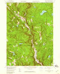
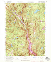
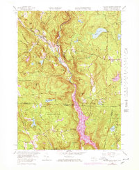
Editions of this 1958 Tolland Center Map
5 editions found
Other maps of this area

1887 · Granville
USGS Topo · 1:62,500

1888 · Sandisfield
USGS Topo · 1:62,500

1889 · Granville
USGS Topo · 1:62,500

1892 · Winsted
USGS Topo · 1:62,500

1892 · Granby
USGS Topo · 1:62,500

1893 · Granville
USGS Topo · 1:62,500

1893 · Sandisfield
USGS Topo · 1:62,500

1895 · Granville
USGS Topo · 1:62,500

1896 · Holyoke
USGS Topo · 1:125,000

1897 · Sandisfield
USGS Topo · 1:62,500