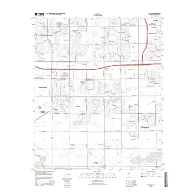
2014 Map of Tolleson
USGS Topo · Published 2014About this map
The Agua Fria River cuts a wide path through this portion of the West Valley, where the urban expansion of Phoenix meets the agricultural roots of the Buckeye Valley. This 2014 survey documents the dense residential development of Avondale and Goodyear, contrasting with the more industrial and transit-focused areas around Phoenix Goodyear Airport. Genealogists and local historians will find several significant burial sites, including the Holy Cross Cem, the isolated Heath Grave, and the Goodyear Farms Historic Cem, which speaks to the area's twentieth-century agricultural labor history.
Find a feature on this map
139 named features on this map. Tap any name to fly to it.
Don’t see what you’re looking for? This feature index may not catch every label — zoom into the map to look around manually.
Map Details
Editions of this 2014 Tolleson Map
This is the sole edition of this map. No revisions or reprints were ever made.
Other maps of this area

1912 · Phoenix
USGS Topo · 1:62,500

1914 · Phoenix
USGS Topo · 1:62,500

1946 · Avondale
USGS Topo · 1:62,500

1948 · Cashion
USGS Topo · 1:62,500

1952 · Laveen
USGS Topo · 1:24,000

1952 · Fowler
USGS Topo · 1:24,000

1952 · Phoenix
USGS Topo · 1:62,500

1954 · Phoenix
USGS Topo · 1:250,000

1957 · Phoenix
USGS Topo · 1:250,000

1957 · Perryville
USGS Topo · 1:24,000