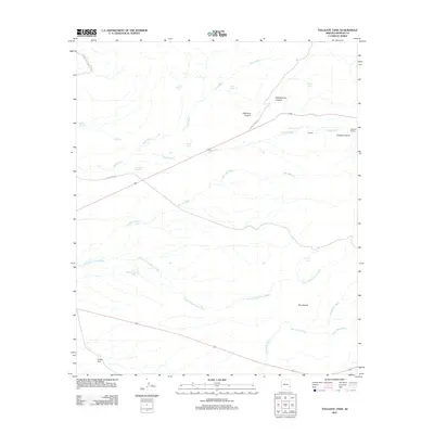
2011 Map of Tollgate Tank
USGS Topo · Published 2011About this map
Gillespie Ranch and the small settlement at Tollgate anchor this landscape in Graham County, where early 21st-century infrastructure meets a complex network of desert washes. The terrain is defined by dramatic drainage systems including Yellowstone Canyon and Deadman Canyon, which feed into major watercourses like Yuma Wash and San Jose Wash. This area relies heavily on water management for livestock and local use, evidenced by a dense concentration of named tanks such as Tollgate Tank, Topaz Tank, and Circle Tanks.
Find a feature on this map
26 named features on this map. Tap any name to fly to it.
Don’t see what you’re looking for? This feature index may not catch every label — zoom into the map to look around manually.
Map Details
Editions of this 2011 Tollgate Tank Map
This is the sole edition of this map. No revisions or reprints were ever made.
Other maps of this area

1954 · Silver City
USGS Topo · 1:250,000

1958 · Silver City
USGS Topo · 1:250,000

1960 · Guthrie
USGS Topo · 1:62,500

1960 · Safford
USGS Topo · 1:62,500

1962 · Silver City
USGS Topo · 1:250,000
1966 · Artesia NE
USGS Topo · 1:24,000
1966 · Whitlock Mts. NE
USGS Topo · 1:24,000
1966 · Dry Mountain
USGS Topo · 1:24,000
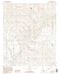
1985 · Gila Box
USGS Topo · 1:24,000
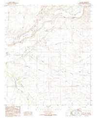
1985 · San Jose
USGS Topo · 1:24,000