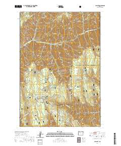
2020 Map of Tollgate
USGS Topo · Published 2020About this map
Tollgate serves as a central point of activity within the high-elevation reaches of the Umatilla National Forest on the border of Umatilla and Union counties. The landscape is defined by the headwaters of the S Fork Walla Walla River and the tranquil Langdon Lake. This survey illustrates a modern network of winter recreation paths, including the Road Run Loop (Snow) and Ski Lodge Tie (Snow), which cater to seasonal visitors.
Find a feature on this map
60 named features on this map. Tap any name to fly to it.
Don’t see what you’re looking for? This feature index may not catch every label — zoom into the map to look around manually.
Map Details
Editions of this 2020 Tollgate Map
This is the sole edition of this map. No revisions or reprints were ever made.
Other maps of this area

1953 · Pendleton
USGS Topo · 1:250,000

1955 · Grangeville
USGS Topo · 1:250,000

1956 · Pendleton
USGS Topo · 1:250,000

1959 · Grangeville
USGS Topo · 1:250,000

1963 · Big Meadows
USGS Topo · 1:24,000

1963 · Andies Prairie
USGS Topo · 1:24,000

1963 · Bingham Springs
USGS Topo · 1:24,000

1963 · Tollgate
USGS Topo · 1:24,000

1963 · Blalock Mountain
USGS Topo · 1:24,000

1963 · Peterson Ridge
USGS Topo · 1:24,000