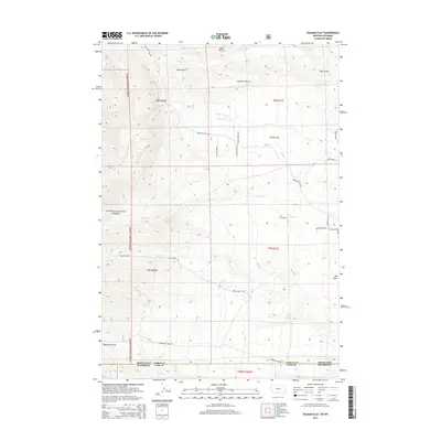
2014 Map of Tolman Flat
USGS Topo · Published 2014About this map
Tolman Flat and the surrounding high benches define this landscape along the border of Wyoming and Montana. The 2014 topography highlights a transition from the drainage basins of Wolf Cr and Grove Cr into the rising elevations of the Custer National Forest. Local history is anchored at the Tolman Cem, located near the intersection of several historic transit corridors. The placement of Stagecoach Trl and Meeteetse Trail Rd suggests the enduring importance of these traditional routes through the western terrain. The area is characterized by distinct geological features like Ruler Bench and Dilworth Bench, which overlook a network of seasonal water sources including Corner Spring and Three Corner Spring. Roadways such as Ruby Creek Rd and Horny Toad Trl N provide modern access points into these high-altitude draws and gulches.
Find a feature on this map
37 named features on this map. Tap any name to fly to it.
Don’t see what you’re looking for? This feature index may not catch every label — zoom into the map to look around manually.
Map Details
Editions of this 2014 Tolman Flat Map
This is the sole edition of this map. No revisions or reprints were ever made.
Other maps of this area

1944 · Red Lodge
USGS Topo · 1:62,500

1950 · Clark
USGS Topo · 1:62,500

1950 · Deep Lake
USGS Topo · 1:62,500

1954 · Billings
USGS Topo · 1:250,000

1955 · Cody
USGS Topo · 1:250,000

1956 · Mount Maurice
USGS Topo · 1:62,500

1957 · Billings
USGS Topo · 1:250,000

1958 · Billings
USGS Topo · 1:250,000

1958 · Cody
USGS Topo · 1:250,000

1962 · Cody
USGS Topo · 1:250,000