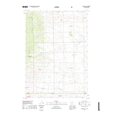
2020 Map of Tolman Flat
USGS Topo · Published 2020About this map
Custer National Forest dominates the western edge of this map, where the dramatic slopes of Face of the Mountain rise above the high plains. This region, straddling the border between Montana and Wyoming, is characterized by a series of prominent level plateaus such as Tolman Flat, Dilworth Bench, and Ruler Bench. These features are separated by a complex network of drainages including Wolf Creek and Gold Creek, which flow toward the eastern flats.
Find a feature on this map
29 named features on this map. Tap any name to fly to it.
Don’t see what you’re looking for? This feature index may not catch every label — zoom into the map to look around manually.
Map Details
Editions of this 2020 Tolman Flat Map
This is the sole edition of this map. No revisions or reprints were ever made.
Other maps of this area

1944 · Red Lodge
USGS Topo · 1:62,500

1950 · Clark
USGS Topo · 1:62,500

1950 · Deep Lake
USGS Topo · 1:62,500

1954 · Billings
USGS Topo · 1:250,000

1955 · Cody
USGS Topo · 1:250,000

1956 · Mount Maurice
USGS Topo · 1:62,500

1957 · Billings
USGS Topo · 1:250,000

1958 · Billings
USGS Topo · 1:250,000

1958 · Cody
USGS Topo · 1:250,000

1962 · Cody
USGS Topo · 1:250,000