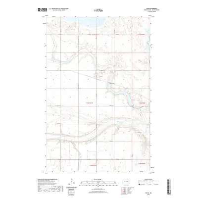
2020 Map of Tolna
USGS Topo · Published 2020About this map
Tolna serves as the central hub of this Nelson County landscape, where the prairie topography is defined by the winding course of the Sheyenne River and the northern reach of Stump Lake. The town's layout and its local history are rooted in the vicinity of Tolna Cem and Saint Marys Cem, which sit just north of the residential core. The terrain is marked by the Tolna Coulee, a significant drainage feature that cuts through the undulating fields south of the settlement. This 2020 survey demonstrates the intersection of the natural waterway systems with the rectangular grid of the Public Land Survey System, as seen in the boundaries of t150n r61w and t151n r61w. The map details a rural infrastructure supported by a network of county roads, including Co RD 23 and Co RD 24, which connect the scattered farmsteads of the Red River Valley's western edge.
Find a feature on this map
21 named features on this map. Tap any name to fly to it.
Don’t see what you’re looking for? This feature index may not catch every label — zoom into the map to look around manually.
Map Details
Editions of this 2020 Tolna Map
This is the sole edition of this map. No revisions or reprints were ever made.
Other maps of this area

1930 · Pekin
USGS Topo · 1:62,500

1930 · Hamar
USGS Topo · 1:62,500

1950 · Devils Lake Mountain
USGS Topo · 1:24,000

1951 · Pekin NE
USGS Topo · 1:24,000

1951 · Devils Lake Mountain
USGS Topo · 1:24,000

1951 · Pekin NW
USGS Topo · 1:24,000

1951 · Tolna
USGS Topo · 1:24,000

1951 · Pekin
USGS Topo · 1:24,000

1951 · Pekin
USGS Topo · 1:62,500

1952 · New Rockford
USGS Topo · 1:250,000